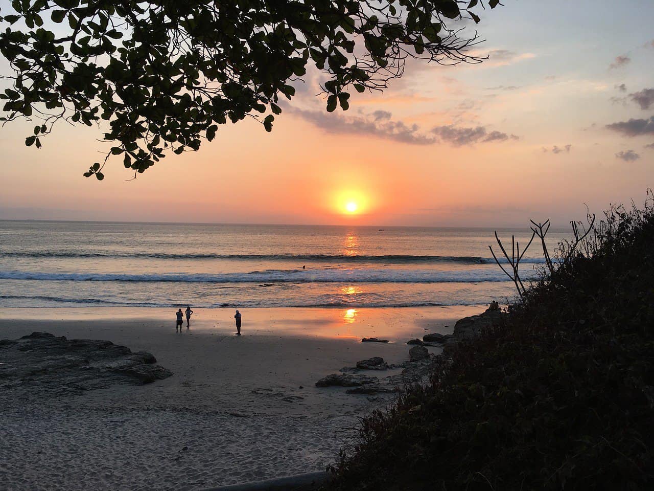
The Costa Rican Tourism Institute (ICT) and the National University (UNA) have collaborated to create the Atlas of Costa Rica’s beaches, aiming to disseminate crucial information and data to assist visitors in ensuring their safety.
Lead researcher Isabel Arozarena emphasized that the beaches most susceptible to undertow currents are often the most frequented.
Simultaneously, the former director of the Physics Department at UNA, Alejandro Gutiérrez, pointed out, “This Atlas can be used by tourists who wish to understand if it is possible to reach a site on the coastline of our country and the conditions of access; as well as, for example, the color of the sand in the place they are going to, in case they are interested in the data.”
According to data from the Judicial Investigation Agency (OIJ), the most hazardous beaches include Jacó, Playa Hermosa, Cocles, Bejuco, Esterillos, Playa Bandera, Playa Dominical, and Playa Negra.
Identifying dangerous beaches is crucial, and one simple method is to recognize which beaches are popular among surfers. “Surfing requires substantial, well-formed waves, leading to significant currents. For instance, even for surfers, Playa Hermosa in Jacó can be hazardous,” she added.
The atlas includes recommendations for beachgoers to enjoy the shores safely. Experts advise paying attention to beach signage, refraining from swimming immediately after eating, identifying and avoiding sinkholes during high tide, refraining from climbing attractive cliffs, steering clear of runoffs and river mouths, and avoiding areas where waves do not break.
In the absence of lifeguards, seek out surfers familiar with the dynamics of the area and inquire about safe swimming spots to avoid currents. These individuals can also provide assistance in case of emergencies.
It is crucial for people to check beach conditions before their visit, especially if engaging in water sports or swimming in the sea. This proactive approach not only prevents accidents but can also be a lifesaving measure.
Since 1989, UNA has been studying the danger of beaches and the risk of drowning due to rip currents on the more than 300 beaches visited in the country.
As revealed by data published by Arozarena, year-end vacations, Easter week, and July are the times when there are peaks in the number of drownings.
The Atlas can be downloaded for free at the following link: Costa Rica Beach Atlas


