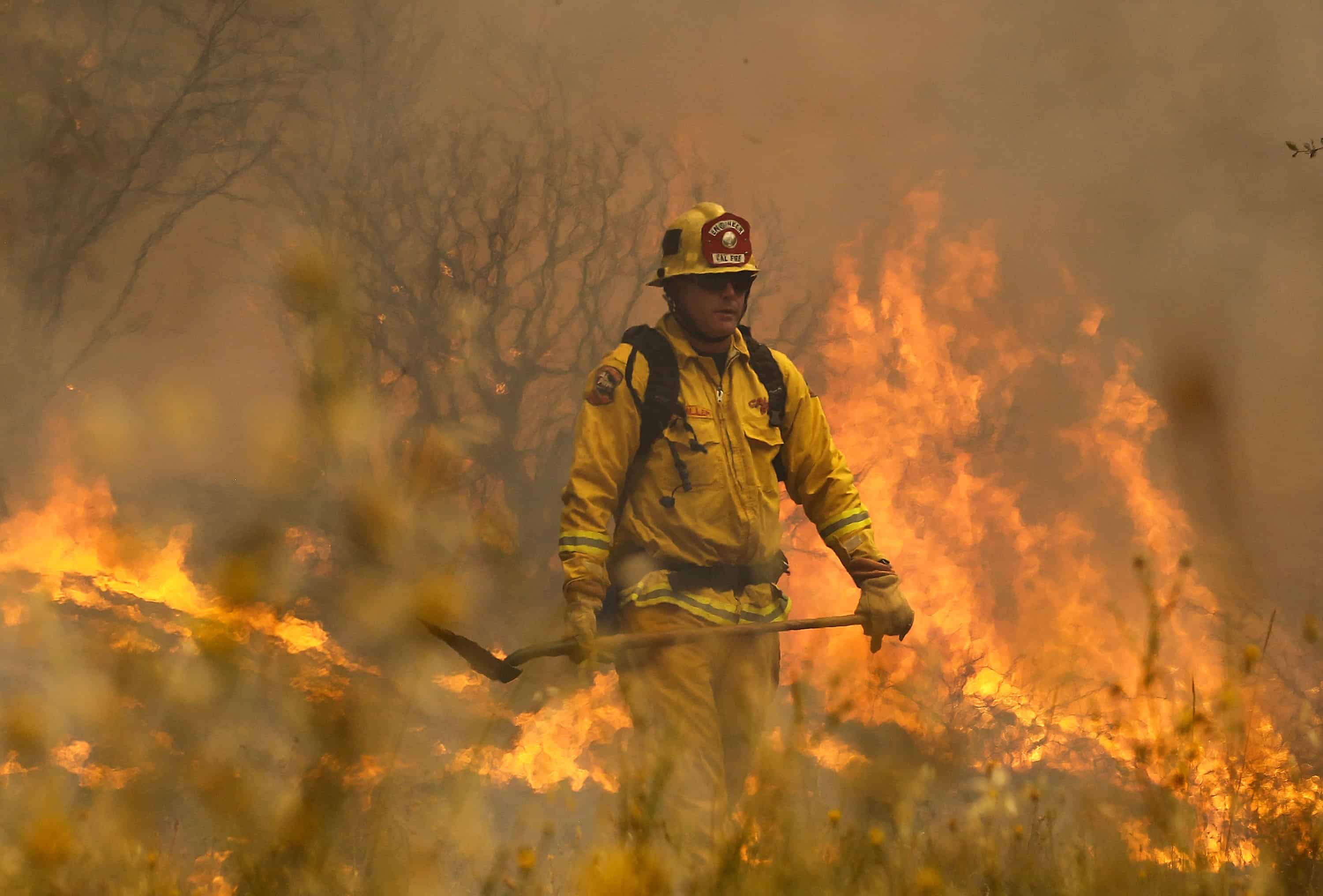
The state of California takes its dying trees seriously. In October, Gov. Jerry Brown declared a state of emergency over what he referred to as the “worst epidemic of tree mortality in its modern history.” The proclamation calls for the mobilization of more resources to safely remove dead and dying trees, which can pose risks by falling over and can significantly increase the chances of wildfire in the state.
Until now, the state has relied on data from field testing and plot sampling to figure out how forests are doing. But new research from the Carnegie Institution for Science has allowed for a faster, more comprehensive look at the health of trees throughout the state.
“We’ve never before had this kind of in-depth individual tree-level analysis done in California,” said Ashley Conrad-Saydah, deputy secretary for climate policy at the California Environmental Protection Agency.
Researchers from the Institution, led by staff scientist Gregory Asner, utilized a type of imaging technology that allows scientists to examine a tree’s water content from above by airplane. The Carnegie Airborne Observatory at the Carnegie Institution for Science is one of the few systems capable of conducting these types of observations.
In August 2015, the researchers collected 12 days worth of airborne observations of forests in California. These observations told them how much water was currently housed in the trees’ canopies. But what they really wanted to know was how much this water content had changed as a result of the drought. So they turned to satellite data from the past few years to figure it out.
By comparing current satellite data to current imaging data on canopy water content, the researchers were able to come up with a model that helped explain the relationship between the two types of data. That way, the researchers could go back and look at past satellite data and estimate what the trees’ water content was at the time.
The researchers estimated that 888 million trees, comprising an area of more than 10 million hectares (nearly 40,000 square miles) have experienced progressive water loss between 2011 and 2015. Out of these, 412 million experienced a loss of at least 10 percent of their canopy water, and about 58 million trees experienced losses of more than 30 percent.
Throughout the state, trees on hill crests and slopes were the most suppressed in their water content, Asner said, likely because of the way water tends to roll downhill. Geographically, the forests in the worst shape were found in the southern half of the Sierra mountains, although trees in southern California around Los Angeles and those in the northern coastal forests were also among the most vulnerable.
To be clear, these results don’t necessarily mean that all 888 million affected trees are at immediate risk of dying. “The science isn’t strong enough yet to make such a prediction,” Asner said. The researchers still need to conduct more analyses in order to figure out how the water loss has been distributed among individual trees and how many of these are likely to die. Asner plans to conduct more flights in 2016 to see how conditions have progressed.
In the meantime, however, the data so far are likely to be useful to the state in a number of ways. First, they can help state officials identify drier areas which are more likely to pose a fire hazards.
“Trees don’t have to die outright in order to become a fire hazard,” Asner said. “A suppression of water content is highly correlated with whether a tree becomes flammable or not.”
And Conrad-Saydah, from the California EPA, added that the data can also be used to identify areas where vulnerable trees might be at greater risk of falling over, especially during storms. Falling trees pose risks to human life and property by falling over and causing damage, but they can also present problems for the state’s water systems. “You also have these bigger risks with trees dying and decomposing in a watershed,” Conrad-Saydah said.
She also noted that the new data do not supplant previous field sampling techniques – rather, the new use of imaging technology adds to what was already a formidable effort to assess the health of forests in California. “When you couple that long-term data with this new data, it really gives you a much better sense of change over time and the severity of the drought,” she said.
But future airborne observations will provide a quicker, easier way to collect data on thousands of trees at a time, giving scientists faster insight on how climatic changes in the state are affecting the environment.
“I think that the new science that we’re bringing to the table here presents a significant opportunity for advancing resource management and conservation in the current time and the future of climate change,” Asner said. “I think that’s really what we’re after.”
© 2015, The Washington Post


