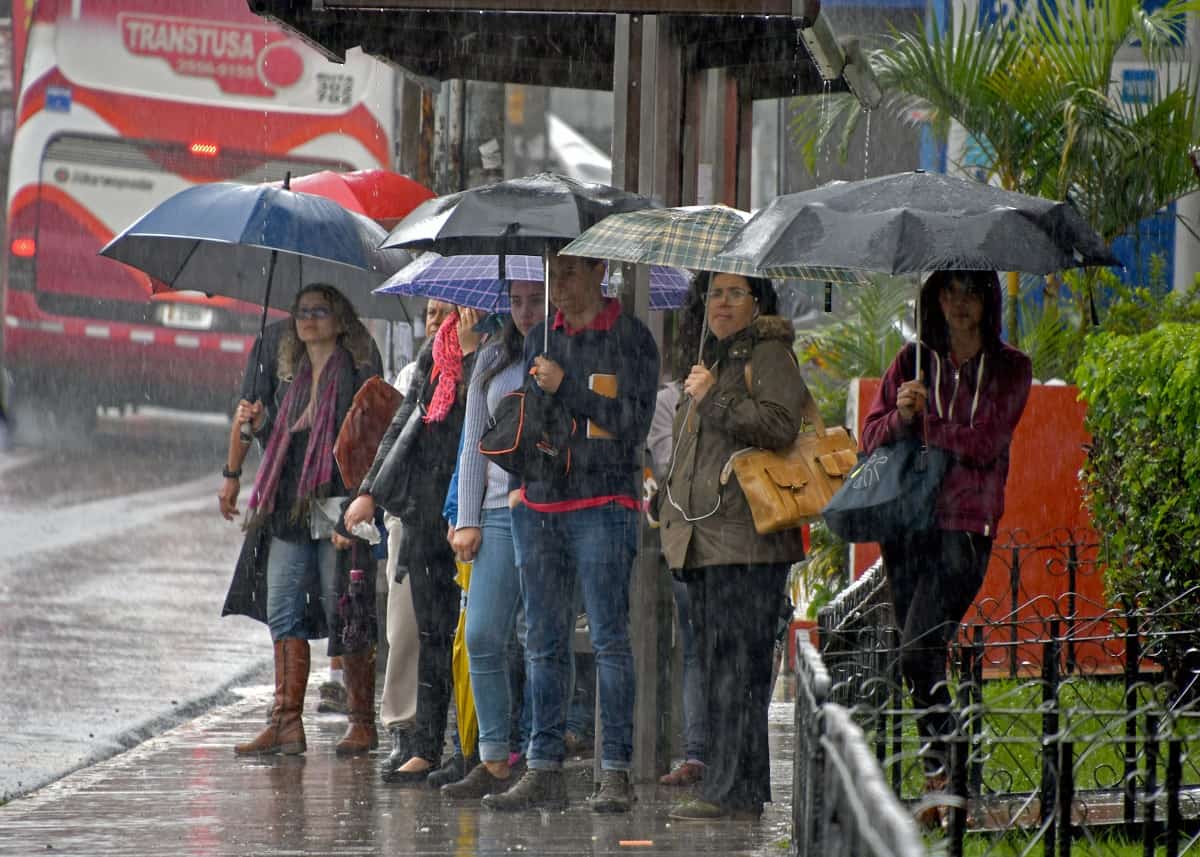
Costa Rica remains under a yellow alert nationwide as the first cold front of the season sweeps in, intensifying rainfall and prompting authorities to warn of potential floods and landslides. The National Emergency Commission (CNE) activated the alert late Thursday, citing the combined effects of the cold front and ongoing rainy season patterns.
CNE President Alejandro Picado explained the decision stems from forecasts showing heightened precipitation starting Friday. “Widespread rainfall hits the country from this Friday onward, driven by the season’s first cold front and standard rainy conditions,” Picado stated. He highlighted risks in the Caribbean, Northern Zone, and parts of the South Pacific coast, where heavier downpours could occur over the next few days.
The National Meteorological Institute (IMN) predicts the cold front will linger through today, delivering varied weather across regions. In the Caribbean and North, steady rain persists all day, while the Central Valley sees moderate wind gusts in higher elevations and cooler temperatures under mostly cloudy skies. Pacific areas start with partial cloud cover in the morning, but afternoon showers and possible thunderstorms loom over the Central and South Pacific, especially around Puntarenas.
This weather shift follows indirect impacts from Hurricane Melissa, which saturated soils countrywide and led to recent flooding. As of Thursday, 210 residents stayed in temporary shelters in locations like Puerto Jiménez, Corredores, Santa Cruz, Nicoya, Cóbano, and Florencia de San Carlos. Picado reported 104 rain-related incidents on Wednesday alone, with significant damage in San Carlos canton, including communities such as Pénjamo de Florencia and La Cruz in Ciudad Quesada. Effects rippled to other areas, underscoring the vulnerability of already soaked ground.
Authorities stress the need for vigilance amid these conditions. The CNE urges people to monitor official updates from national, regional, and local sources, particularly in high-risk zones prone to flooding or slides. Drivers face added hazards from reduced visibility due to rain, fog, and winds, which could topple trees or trigger road blockages. In emergencies, citizens should dial 911 without delay.
IMN updates indicate intermittent rains continue in the Caribbean and North Zone into the evening, with moderate showers and storms possible in the Central and South Pacific. Winds pick up moderately, reaching intense gusts Friday into Saturday, further complicating travel and outdoor activities.
While the cold front marks the start of a transitional period, experts note changes in these systems could hasten the dry season’s arrival. The IMN forecasts a gradual rainfall drop in the North Pacific and Central Valley by mid-November, signaling relief ahead. For now, though, the focus stays on managing immediate threats from this front.
Communities hit hardest by prior storms, including those in Limón province like Pococí and Talamanca, report ongoing issues such as flooded roads and wind speeds up to 110 kilometers per hour. The CNE maintains active shelters, currently housing 135 people as rains and the cold front persist.
Residents in affected areas adapt by securing homes and avoiding unnecessary outings. Local officials coordinate with national teams to assess damage and provide aid, ensuring quick response to any escalations.


