
I was once in danger of freezing to death in Costa Rica. That’s right– imagine the irony of dying of hypothermia in the tropics. I drove a ragtop jeep over the Cerro de la Muerte in the darkest hours of the early morning, destination San Jose. Much like the earliest settlers, who sometimes froze to death while traversing the peak, I hit the mountaintop woefully unprepared.
It was almost as if the cerro’s name– literally Mountain of Death in English– did not register. My car had no heater, a flimsy soft top that the wind whistled through, and I was dressed for San Jose, long pants, button up shirt, light windbreaker jacket. The icy air engulfed me as I started downward from the 3,000 meter (10,000 foot) peak.
The first light of sun did little to warm me; I shivered, chattered my teeth and berated myself for being an idiot for the better part of an hour until the outside temps rose enough that I was still cold but no longer on the edge of hypothermia. I was lucky that chilly madrugada, in that I had a car to keep me moving, and a paved road for driving on.
Try to imagine the pre highway days, when there were no roads, only the most treacherous paths cut through the higher altitude forests and paramo, passable only on foot or mule or horseback. In the early part of the 20th century there was no road connecting the Zona Sur with San Jose. It was a long and arduous trip, and deaths from exposure were not uncommon. Hence the name given to the mountain, which was previously called Cerro Buenavista.
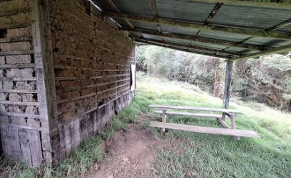
In time, a few refugios were built along the route, small cabins that provided a semblance of shelter from the cold. This is Refugio Ojo de Agua, located at kilometer 71 on the Cerro de la Muerte. This was one of the most used shelters along the road. Since 1974 it is part of the Architectural Historical Patrimony of Costa Rica.
Cerro de la Muerte was part of the original Pan-American Highway. Back in the mid-19th century there was talk of building a railroad to connect the Americas. This never came to fruition, but into the 20th century, the idea of a road running from Alaska to Argentina took shape. Between the two World Wars, the US helped finance and build long stretches of the highway throughout Central America, primarily to provide road access to the Panama Canal.
There are two villages along the route– Macho Gaff at kilometer 65 and Villa Mills at kilometer 95 (just before the long descent to San Isidro del General), both named for US natives in charge of supervising the construction of those stretches of highway. Completion of the original road over the mountain was done in the late 1940s.
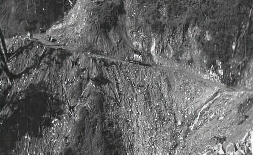
This photo from 1942 or 43 plainly shows the hazardous conditions encountered in the construction of the road. As anyone who has driven on it can testify, it is a dangerous road even today. Long steep downhills, narrow curves, rain, fog, landslides all while sharing the road with buses and tractor trailers.
So if you find yourself someday driving this road, remember the amazing amount of work it took to make it a reality– and also remember, if you are driving in the predawn hours, to make sure that your car has a functioning heater.