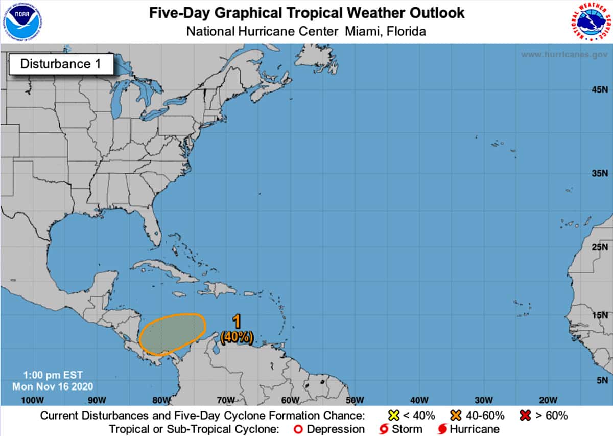
The National Hurricane Center (NHC) is tracking a weather disturbance in the Caribbean Sea that it says has a 40% chance of cyclone formation within the next five days.
As of 12 p.m. CST on Monday, the U.S.-based meteorologists forecast the following:
A new area of low pressure could form in a couple of days over the central or southwestern Caribbean Sea. Environmental conditions should favor some subsequent development, and a tropical depression could form by the end of the week while the system moves slowly westward or west-southwestward across the southwestern Caribbean Sea.
A west or west-southwestward track implies the disturbance could result in a storm that affects southern Central America, including Costa Rica. However, at this time, a low-pressure system has not yet formed.
The Tico Times will continue following NHC forecasts and provide timely updates if and when they occur.
The 2020 Atlantic hurricane season has been an active one, featuring a record 30 named tropical storms. Earlier this month, Hurricane Eta made landfall in Nicaragua as a Category 4 storm. Later tonight, Hurricane Iota is forecast to make landfall in nearly the same spot as a Category 5.


