

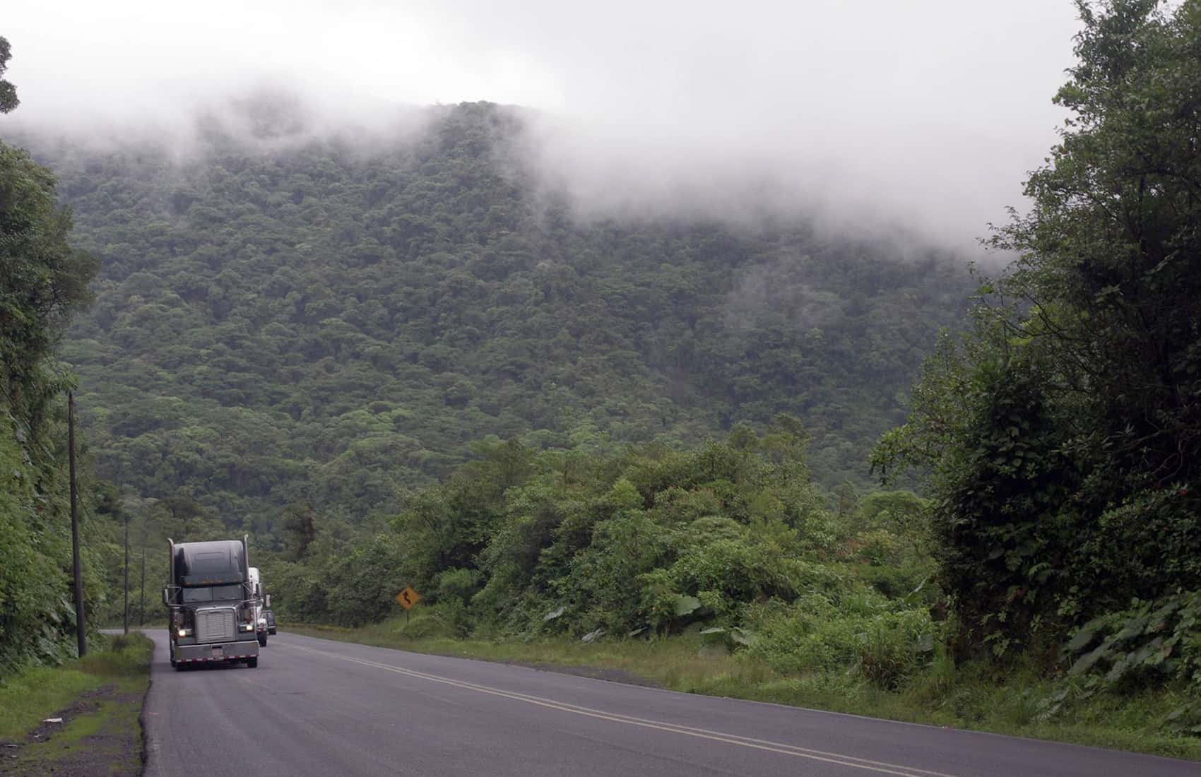
The yellow alert that went up over the weekend is still in place, and a second tropical wave in three days crosses today. If you are driving to Limón, Guápiles, Siquirres, Matina or Turrialba, treat today the way you treated Monday. The yellow alert still covers Pococí, Guácimo, Siquirres, Matina and Turrialba. The green alert still covers Limón and Talamanca, the Northern Zone and the southern Pacific.
What changes today is the timing. Tropical Wave 28 arrived in the early hours of Monday and pushed its heaviest rain into the afternoon and evening. Wave 29 behaves differently. It crosses with faster trade winds behind it, and the heaviest rain falls on the Caribbean slope and the Northern Zone in the morning and again at night.
Morning totals across the Caribbean and the Northern Zone are forecast between 20 and 45 millimeters (roughly 0.8 to 1.8 inches), spreading into the northern and eastern Central Valley later in the morning. Midday is the calmer stretch. If you have any flexibility about when you drive Route 32 or Route 10, use it.
Everywhere else, expect downpours with thunder in the southern and central Pacific, occasional storms in the Central Valley and rain in the west-central part of the northern Pacific. The Central Valley should stay mostly dry through the morning before showers build in the afternoon, with San José running between 18.7 and 25.9 degrees Celsius (about 66 to 79 Fahrenheit). Guanacaste stays hot and windy, and Nicoya could reach 36.9 degrees Celsius (about 98 Fahrenheit), with rain possible on the peninsula late in the day.
The underlying problem has not changed since Monday. Watersheds in the Caribbean mountains and the southern Pacific are still holding more than 90% of the water they can absorb. Rain that lands on ground that full does not soak in. It runs downhill and arrives in rivers that never had a chance to drop. This is why river levels can climb sharply hours after the rain has stopped where you are standing, and why the rain falling in the mountains matters more to a town on the coast than the weather directly overhead.
As of the start of the week, 38 people were being housed in two shelters in Matina, and crews were inspecting homes, roads and the dikes along the main rivers in the canton. Matina remains the most exposed part of the Caribbean right now.
If you are on the Caribbean coast this week, a few things are worth doing before the rain picks up rather than during it. Charge what you need charged, because outages tend to follow wind and falling branches rather than the flooding itself. Fill a water container, since supply lines can go cloudy or drop pressure when rivers rise. Know whether the road out of where you are staying crosses a river or a low bridge, because that is the connection that goes first and the one that takes longest to come back.
The driving rules from earlier this week still apply. Do not enter standing water when you cannot see the road underneath it, and do not cross moving water on foot. Thirty centimeters (about a foot) of moving water is enough to shift a vehicle.
There is some relief in the forecast. Saharan dust is expected to reach toward the weekend, and that usually suppresses rainfall and leaves the sky hazy and the air dry. It is not a guarantee, and it will not undo weeks of saturated ground, but it would break the pattern of a tropical wave every few days.
Alert levels move as rivers respond to rain upstream, so a canton listed green this morning may not stay green tonight. Check the current status before you commit to a route through any of these areas.





