

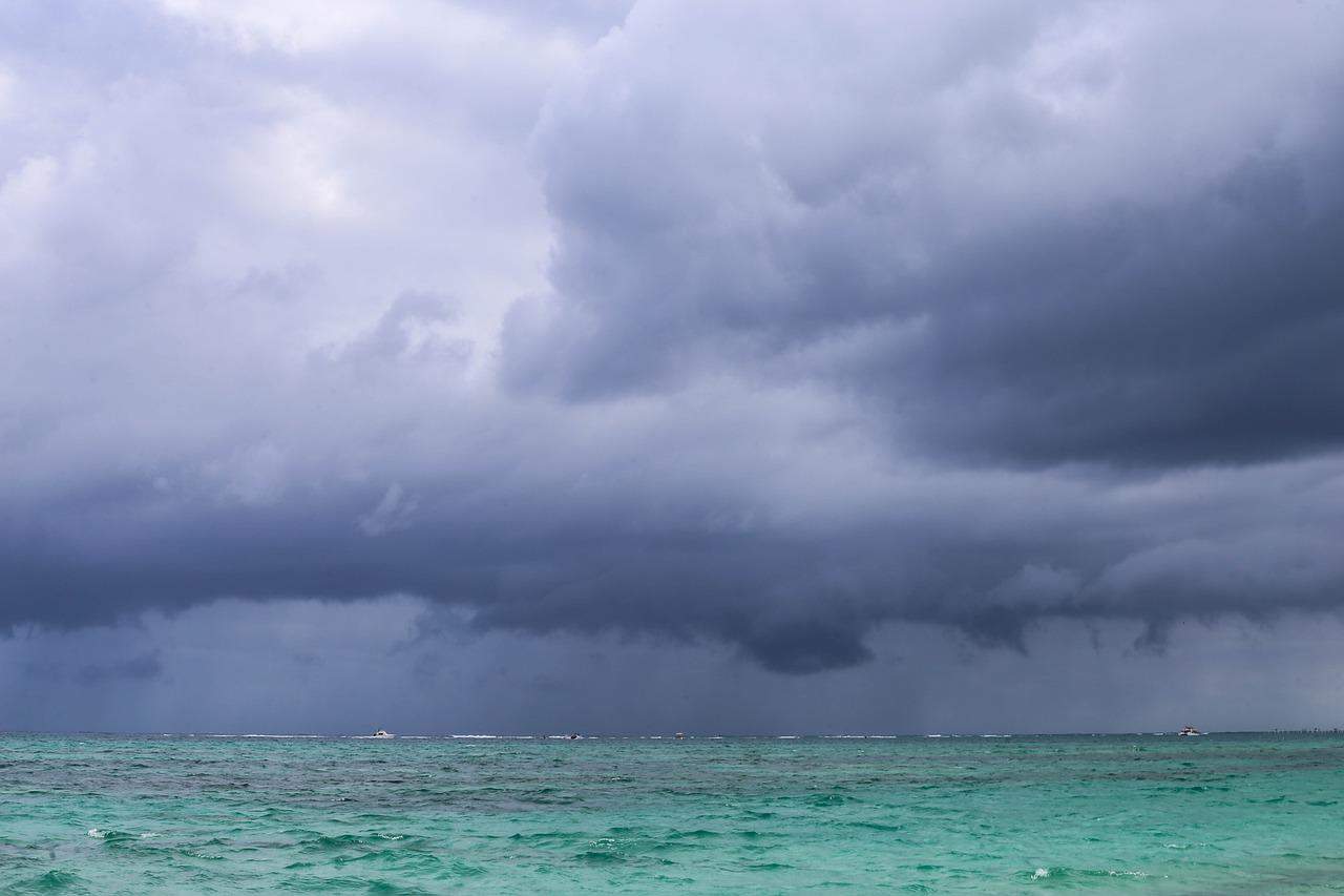
If you are driving to Limón, Turrialba or the southern Pacific today, expect delays and check the road before you leave. A yellow alert is in effect today for Pococí, Guácimo, Siquirres, Matina and Turrialba after a tropical wave moved across overnight and a green alert covers a much wider stretch of the Caribbean, the Northern Zone and the south.
The green alert is for Limón and Talamanca on the Caribbean side, Sarapiquí, San Carlos, Río Cuarto, Los Chiles, Guatuso and Upala in the Northern Zone, and Pérez Zeledón, Buenos Aires, Osa, Golfito, Puerto Jiménez, Corredores and Coto Brus in the south. As a reminder. yellow means preparation and active monitoring, not evacuation. Green means stay aware and watch conditions where you are.
The reason the alert level went up has less to do with how much rain is coming than with how much has already fallen. Some watersheds are more than 90% saturated, which means the ground cannot absorb anything more. Rain that would normally soak in now runs straight off hillsides and into rivers that are already high. That is why a moderate downpour today can cause more damage than a heavier one would have caused two weeks ago.
Tropical Wave 28 crossed this morning and strengthened the band of storms sitting over the Pacific near Costa Rica. Rain arrived overnight near both coasts and across the Caribbean and Northern Zone lowlands. Through the afternoon, expect scattered moderate rain and thunderstorms along the Pacific coast and in the mountains west of the Central Valley, with more isolated showers over the northern and Caribbean plains. By evening the rain shifts toward the southern Pacific coast.
Totals should land between 20 and 40 millimeters (roughly 0.8 to 1.6 inches), with the heaviest accumulations reaching about 100 millimeters (roughly 4 inches) in the south. Isolated gusts near storm cells could hit 80 kilometers per hour (about 50 miles per hour), enough to bring down branches and power lines.
Parts of the Caribbean, unfortunately, did not wait for today’s system. Flooding over the weekend affected Matina, Siquirres, Talamanca and Turrialba, and rescue crews worked before dawn Sunday in Matina, where a river overflow at Finca Estrada left 22 people cut off. Emergency teams are also watching Hamburgo, Islona and Dos Bocas, and the Sixaola river in Talamanca has been running high.
As we have suggested in previous articles when tropical waves come, do not drive through standing water, because you cannot see whether the road under it has washed out, and moving water only 30 centimeters (about a foot) deep can push a car sideways. Do not try to cross a swollen river or creek on foot for the same reason. In towns, storm drains that are already full will back up quickly, so streets can flood faster than the rain seems to justify. If you hear thunder, get inside and stay away from windows and tall isolated trees until it passes.
One more thing worth mentioning here, emergency lines fill up fast during weather events, and every call that is not an emergency delays one that is. Call 911 if someone is in danger. For everything else, follow official updates rather than forwarded messages, which tend to recycle photos and closure reports from previous storms.
Alert levels can change during the day as rivers respond to rainfall upstream, so a canton that is green this morning may not stay that way. Check the current status before committing to a route through any of the affected areas.





