

The El Niño now sitting over the equatorial Pacific has reached a point of very strong intensity, and forecasters say it could stay in place until June 2027. For Costa Rica, that would mean, unfortunately, the phenomenon runs through the entire upcoming dry season and into the start of the next rainy one.
That is a longer and more intense event than the National Meteorological Institute (IMN) was describing a few months ago. In May the institute expected El Niño to reach strong intensity late this year and lose force during the first months of 2027. The water has warmed faster than that.
The number behind the change is the sea surface temperature in the Niño 3.4 region of the Pacific, which ran about 2.5 degrees Celsius (4.5 degrees Fahrenheit) above normal during August. That is warmer than the same stretch of the 1997 and 2015 events, the two benchmarks forecasters reach for when they want to describe a severe El Niño.
Daniel Poleo, a meteorologist at the IMN, said conditions in the monitoring region already qualify as extraordinary, the label used once the anomaly passes 2 degrees Celsius (3.6 degrees Fahrenheit). He described Costa Rica as dealing with a very strong El Niño that is likely to gain a little more force, and said the temperatures being measured in the equatorial Pacific right now are the highest in 38 years of records.
More heat is waiting below the surface. Pockets of subsurface water are running up to 6 degrees Celsius (10.8 degrees Fahrenheit) above average, and Poleo said part of that mass will drift toward the coast of South America and then rise, which would push surface temperatures higher over the coming months.
El Niño usually reaches its strongest point toward the end of the year so the readings coming in now are unlikely to be the peak, and the water has room to warm further before the event starts to turn.
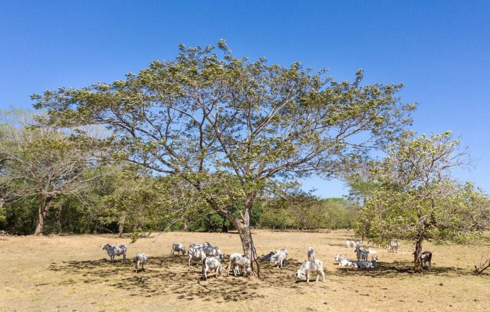
What you notice first is rain that does get here. The IMN drought early warning system already has the Pacific slope, the Central Valley and the western Northern Zone under meteorological drought, including Guatuso, Los Chiles and Upala, and Poleo said those conditions will hold rather than ease.
September is on track to close with steep shortfalls as the forecast puts the North Pacific at roughly 80 percent below normal rainfall for the month, the Central and South Pacific at 60 percent below, the Central Valley at 50 percent below and the western Northern Zone at 10 percent below.
The Caribbean is the exception, as it usually is during an El Niño. The North Caribbean is expected to finish the month with about 20 percent more rain than normal and the South Caribbean with about 30 percent more, which is how one side of Costa Rica ends up flooding while the other dries out.
From October through December the Caribbean and the eastern Northern Zone should settle back to normal rainfall, while the western Northern Zone runs about 30 percent short. The Pacific and the Central Valley slide early into dry season conditions. Under that scenario the rains end ahead of schedule, temperatures stay above average across much of the country, and the season of cold surges from the north starts late and stays weaker than usual.
Anyone who depends on a well, a rainwater tank, a river intake or a reservoir has a long stretch to plan for rather than a passing dry spell. Poleo added one caution, and that is that a very strong El Niño does not automatically scale up every impact in the same proportion, and because Costa Rica has not recorded an event like this in the last 40 or 50 years, there is no clean precedent to forecast from.





