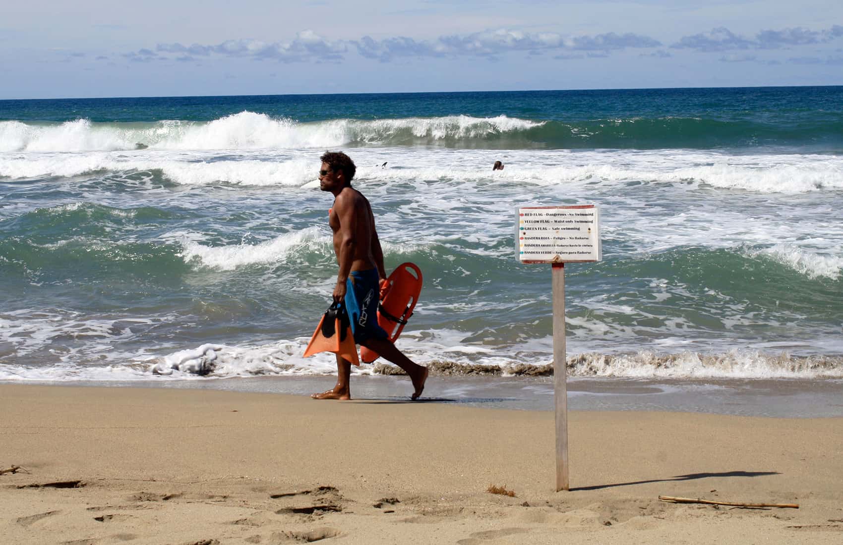
A high-pressure system entering the country from the North Atlantic will increase wind speeds and provoke choppy seas starting Wednesday evening, the University of Costa Rica’s Center for Research in Marine Sciences and Limnology (CIMAR) reported.
The most severe effects of the high-pressure system will be in coastal areas in Guanacaste and the northern part of Puntarenas province, as forecasts are predicting wave heights will begin to swell Thursday and could reach 4.1 meters (13.7 feet) on Sunday. CIMAR experts are urging residents and beachgoers at northern Pacific and Caribbean beaches to exercise caution.
High winds — from 60-90 kilometers per hour — are also expected for the Central Valley and along the Pacific, though they’re not expected to be as strong as those that in past weeks uprooted trees and caused damage to homes, cars, power lines and utility poles. Still, authorities are asking the public to refrain from making campfires or burning agricultural or other materials.
Swells arriving from the northwest will bring waves up to 2.7 meters (9 ft.) high at Cocos Island, mainly on Sunday. These waves will hit with strong breaks at Chatham Bay and Wafer Bay.
Effects of the high-pressure system will be milder along southern and central Pacific beaches. Waves in these areas are expected to reach 1.2 meters (4 ft.) in height. CIMAR, however, is advising swimmers to be alert for rip currents.
At Caribbean beaches, swells are expected to get bigger starting Thursday and could reach up to 2.5 meters (8.3 ft.) over the weekend.
Winds along Caribbean beaches are not expected to be as strong as those in the Pacific, with gusts of around 20 kph present through the weekend.
Effects of the high-pressure system will begin to decrease starting Monday.


