Last weekend I took a Costa Rican road trip: Perez Zeledon to Dominical, Dominical to Quepos, Quepos to La Palma de Puerto Jimenez and back. The total drive time for the initial trip was four and a half hours. The most difficult stretch now is the first 35 kilometers, starting in Perez Zeledon, which takes you over El Alto, a mountain that peaks at about 1,100 meters (3,700 feet), then plummets down to sea level over the next steep and winding 16 kilometers (10 miles).
From there is a relatively easy couple of hours, driving the well-maintained Costanera highway. At a village called Chacarita about an hour north of the border with Panama, you turn off for the final 55 kilometers to La Palma. This last stretch is a lonely narrow road that climbs and descends around the Golfo Dulce. In an hour of driving you will likely encounter fewer than ten other travelers going in either direction.
While 4.5 hours is far from the time you would make driving on the Autobahn, it was a breeze compared to the first time I drove this same route almost 30 years ago. Back then, there was no Costanera highway. Most of the coastline from south of Jaco all the way to Puerto Cortes was an unpaved axle-buster of a road, better suited for mule-drawn carriage. At the beginning of most dry summer seasons, an attempt at grading would be done, and the road became a dust bowl, as for a few weeks you could drive at a moderate speed without risking permanent damage to your vehicle.
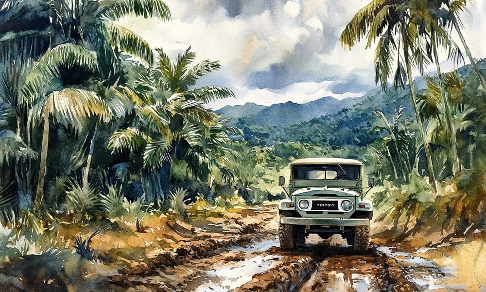
Once the rains returned, so did the hazardous track. The road filled with holes and puddles, and you eased through each puddle knowing that it might be a meter deep water hole that could swallow the front end of your car and leave you stuck in mud awaiting a tow truck. So bad was the road that most drivers heading south chose to detour over the mountains to Perez Zeledon and then go south on what was then the Pan-American highway. This was an additional 80 kilometers, yet it saved time. And though it was part of the road that ran from Alaska to Argentina, even this international highway had small stretches that were gravel and/or potholed.
The final 55 kilometers from Chacarita to Jimenez were as bad or worse than the slogfest that preceded. There were stretches that looked like a war zone after intensive bombing. I remember driving in continual back and forth esses– tacking, if you will– and needing several minutes to cover each kilometer. There were parts of the road broken down the middle, crevices large enough to swallow your car, and sudden drop offs that could mean death for the unalert driver. This stretch, and the 45 kilometers between Quepos and Dominical were like mini versions of the Darien Gap, at least as far as I, an exhausted driver, was concerned.
One other feature along the way, that still exists in lesser numbers today, was the one-lane bridge. In those days most bridges were one lane which added more time to your travel. On occasion, a large truck would get stuck and lines would back up for hours each way. The only people happy were the vendors who would materialize seemingly from nowhere, peddling fruits, nuts and soft drinks sealed up tightly in small plastic bags that were almost impossible to drink without spilling some of the contents onto yourself.
The trip that once took around ten hours and required patience, concentration, and a dose or two of aspirin, now takes less than half that. Bad infrastructure is one aspect of the good old days that nobody misses. On the return trip last weekend, as if to remind me of days long gone, I got a small reminder of what once was.
The final leg back, from Dominical to Perez Zeledon, was driven on a Sunday evening, and many local vacationers were returning from the beach at the same time. The drive over the mountains was an endless line of crawling traffic and took an hour and a half– double the usual time– because of bottlenecks at the two remaining one-lane bridges along the route.


