

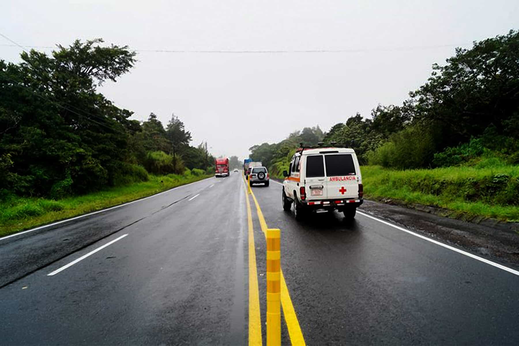
If you are going to the Caribbean coast or the Northern Zone over the next few days, plan for rain and give yourself more time on the road than you think you may need.
Costa Rica’s national emergency commission declared a green alert yesterday for the Caribbean and the Northern Zone. Green is the lowest of the four alert levels and it closes nothing on its own. What it does tell you is that conditions are lined up for flooding, and that municipal emergency committees in those cantons are now on standby.
The reason it matters more than the color suggests is the ground. Soils across both areas are already saturated after weeks of rain. Water that would normally soak in has nowhere to go, so it runs straight off — which means streams rise fast, sometimes under clear sky, from rain falling in the mountains upstream.
Alejandro Picado, who heads the commission, asked for caution above all in flood-prone areas, whether from rivers and streams spilling over or from storm drains backing up. Both happen quickly. A drain that cannot keep up will put water across a road in a matter of minutes, and a stream can come up faster than you can move a car.
The national weather institute traces the pattern to accelerated trade winds over the Caribbean basin combined with a steady buildup of moisture, which has already produced variable rain and scattered downpours with thunderstorms along the Caribbean. That moisture is expected to keep pushing inland, reaching the Northern Zone, the mountains ringing the Central Valley and the Guanacaste cordillera. The Southern Pacific can expect isolated afternoon downpours.
Wind is the second thing to watch. Forecast gusts run 30 to 65 kilometres per hour (19 to 40 miles per hour), rising to 80 kilometres per hour (50 miles per hour) over higher ground. On saturated soil, that is enough to bring down not just branches but whole trees, and trees on a mountain road are what turn a delay into a closure.
The weekend looks wetter than today. The emergency commission attributed the current pattern to tropical wave No. 32 working alongside the Intertropical Convergence Zone, the belt of rising air near the equator that produces steady rain wherever it sits. The weather institute says a further tropical wave arrives over the weekend, pushing instability and rain chances higher again — most of all on the Caribbean side. Its specific warning is for the Caribbean mountain basins, where saturated ground plus climbing rainfall is the combination that produces landslides and sudden river rises.
Along the coast, the ocean deserves the same caution as the sky. University oceanographers have been tracking elevated Caribbean surf all week, driven by the same accelerated trade winds behind the rain. A coast that normally sees waves near one meter (3.3 feet) has been running well above that, and higher surf on this shoreline reliably means rip currents, particularly near river mouths and estuaries. If you are swimming, stay shallow and stay where someone can see you.
Drivers to Limón should check the road before leaving rather than after. Route 32 through the Zurquí tunnel closes on short notice when material comes down in heavy rain, and it does so most often in exactly these conditions. The standard alternates are Route 10 through Turrialba and the Bajos de Chilamate–Vuelta de Kopper corridor, both open to all vehicles, and Vara Blanca for light vehicles only. Each adds hours, so knowing before you set out is worth more than any of them.
Alert levels change daily through this stretch of the year, and August through October is normally the wettest run of the season. Green can move to yellow within hours if rainfall totals land where forecasters expect them, and the useful habit is checking official channels rather than assuming the picture still holds.





