

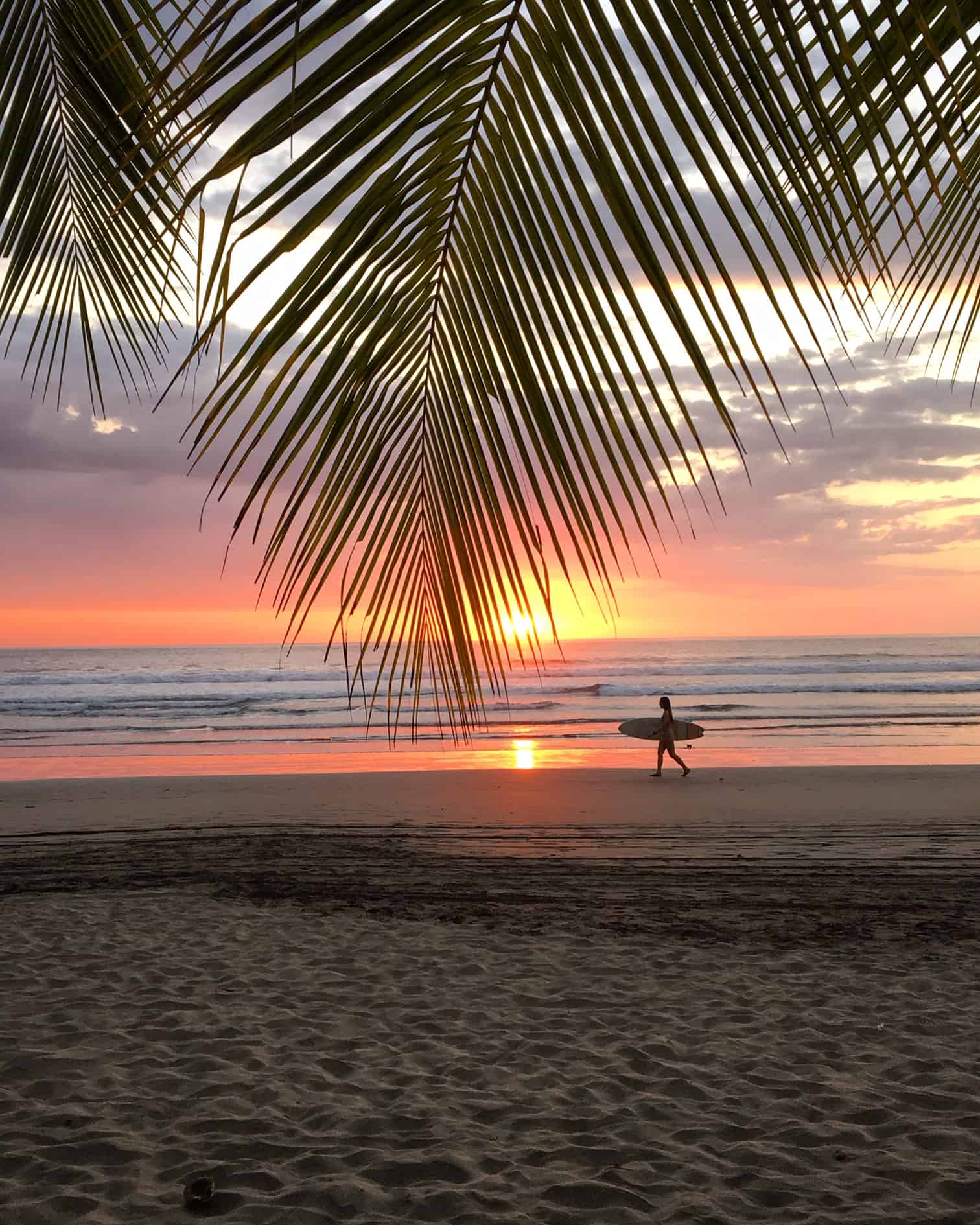
Costa Rica goes into the first week of July under a markedly dry and windy pattern across the Pacific and the Central Valley, as an early arriving canícula (the midseason dry spell that briefly interrupts the rainy season) starts and the strengthening El Niño tilts the season toward less rain and warmer days. The Caribbean coast, on the other hand, will remain the wettest area.
The Instituto Meteorológico Nacional (IMN) forecasts mostly dry conditions in the Pacific Central, Pacific Sur and Central Valley for this week with the Pacífico Norte — Guanacaste and the northwestern beaches — being the driest. They classify the region’s outlook as “very dry.” The Caribe Norte and Caribe Sur, meanwhile, are expected to stay rainy, while the Zona Norte and the northwestern lowlands hold near their seasonal averages.
For most of Costa Rica, that basically means sunny, breezy days across the Pacific coast and the Central Valley, with rain concentrated on the Caribbean side. According to the IMN’s regional report, trade winds have strengthened across the Caribbean, and the Saharan dust that we mentioned last week, remains at very low levels for now.
The IMN also warns of strong to very strong wind gusts in the usual areas — northern and eastern Guanacaste, the mountains and higher elevations, and parts of the Central Valley — with sustained winds estimated at 30 to 50 kilometers per hour (about 19 to 31 miles per hour) and peak gusts ranging from 70 to as much as 95 kilometers per hour (about 43 to 59 miles per hour).
Afternoon showers and isolated thunderstorms are still possible over the mountains of the Central and South Pacific, while light to moderate overnight rain may reach parts of the Caribbean and the Northern Zone. Crucially, forecasters say a “dry” outlook does not mean the rain stops entirely; under El Niño, there can be times of heavy downpours over a few days followed by long dry stretches.
As we mentioned, this week’s pattern is the early onset of the canícula which is a recurring summer break in the rains that normally settles over the Pacific and Central Valley between mid-July and mid-August. During the canícula, the rainy season pauses for a stretch as drier air and strengthened trade winds push the heaviest showers away from the Pacific side bringing more sun, higher temperatures and gustier conditions before the regular afternoon downpours return.
The IMN has said that this year the canícula could begin now and run unusually long — potentially merging with the Veranillo de San Juan, a similar brief lull around late June, into a single dry period stretching well past two months. The merger, forecasters say, has happened before during strong El Niño years.
Keep in mind that with the drier air comes…. heat. The IMN’s updated outlook anticipates above-normal temperatures through the second half of the year, with increases of roughly 1 to 1.5 degrees Celsius (about 1.8 to 2.7 degrees Fahrenheit) across much of the Pacific, Central Valley and northwestern lowlands, and up to 2 degrees Celsius (about 3.6 degrees Fahrenheit) in the Pacífico Norte.
They caution that the warming will feel strongest on clear, dry days, precisely the conditions expected this week, making sun protection and hydration a concern for anyone spending time outdoors, whether at the beach, on the job or even just running errands.
Bottom line for this week is to expect sun, heat and gusty winds on the Pacific and in the highlands and keep rain gear handy on the Caribbean side — with the understanding that, in an El Niño year, the sky can still open up without much warning.
For current conditions and a detailed seven-day outlook before any long drives, mountain travel, boat tours or outdoor plans, check our Costa Rica weather forecast page.





