

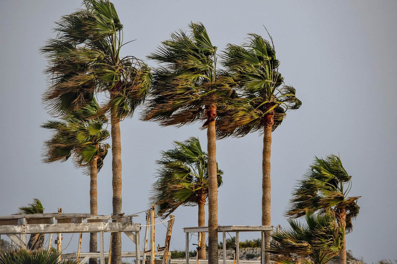
Costa Rica is beginning to feel the effects of the first cold push of the season, bringing stronger winds to Guanacaste and the Central Valley and increasing the chances of rain along the Caribbean coast and in the Northern Zone. The National Meteorological Institute (IMN) expects the weather system to have a mild influence starting today, with the most noticeable changes occurring in the northern and central regions.
Wind gusts are expected to reach between 30 and 45 kilometers per hour (19–28 mph) in Guanacaste, while lower elevations of the Central Valley could experience winds of 20 to 35 kilometers per hour (12–22 mph). The stronger winds are associated with what meteorologists call a cold push, or empuje frío in Spanish. These systems develop when large masses of colder air move south from North America toward the Caribbean and Central America.
Although the name might suggest a dramatic drop in temperatures, cold pushes do not necessarily bring cold weather to Costa Rica. Their most noticeable effects are often stronger winds, increased cloud cover and changes in rainfall patterns. As colder air moves south, it can increase atmospheric pressure over the Caribbean Sea, strengthening the trade winds that regularly blow across Costa Rica from the east and northeast.
Those winds carry moisture from the Caribbean toward the rest of Costa Rica, where mountains can force the moist air upward, producing clouds and rain. For residents of Guanacaste, the first noticeable change Thursday will likely be stronger winds, particularly in exposed areas and near mountain ranges. The region should still experience warm temperatures, with Liberia expected to reach approximately 36.6°C (98°F).
In the Central Valley, including San José, Alajuela, Heredia and Cartago, the morning forecast calls for partly cloudy skies and occasional wind gusts. Isolated afternoon showers are possible, especially toward the western part of the region. San José is expected to see temperatures ranging from approximately 18.8°C (66°F) during the coolest hours to 27.3°C (81°F) during the afternoon.
The Caribbean coast and Northern Zone are likely to experience more noticeable changes in rainfall. In Limón, Guápiles and surrounding communities, additional cloud cover could bring occasional morning rain, followed by scattered showers and possible downpours during the afternoon and evening.
Similar conditions are expected in the Northern Zone, including San Carlos, where cloudy skies and periods of rain could continue into Thursday night. Along the Pacific coast, conditions should remain more typical of the rainy season. Much of Guanacaste will experience relatively clear skies during the morning, with isolated afternoon showers possible around the Nicoya Peninsula.
The Central and South Pacific regions could also receive scattered afternoon rainfall, although the cold push is not expected to have a major direct impact on those areas. The arrival of the first cold push comes after several days of heavy rainfall that caused flooding, landslides and damage to roads and homes in parts of Costa Rica.
Although the new weather system is not expected to produce extreme conditions, additional rainfall remains a concern in communities where the ground is already saturated. Drivers traveling through mountainous areas should remain alert for slippery roads, fog and reduced visibility, particularly when rain and stronger winds occur together.
People planning outdoor activities, including hiking and boating, should also pay attention to changing local conditions. Stronger winds can be particularly noticeable in exposed mountain areas and along sections of the Pacific coast. The first cold push also signals the beginning of a seasonal change in Costa Rica’s weather.
Cold pushes become more common between November and February, when colder air masses moving south across North America can influence weather conditions throughout Central America. During stronger events, Costa Rica can experience powerful wind gusts, cooler temperatures in mountainous regions, increased rainfall in the Caribbean and rougher seas.
This first system, however, is expected to be relatively weak. Looking toward the weekend of October 24 and 25, meteorologists anticipate a gradual reduction in humidity and rainfall across, particularly in the Central Valley and Pacific regions. The change could provide some relief from the heavy afternoon rains that have affected several communities during October.
Keep in mind. this does not mean the rainy season has officially ended. Costa Rica typically experiences a gradual transition toward drier conditions in November, with the timing varying considerably between regions. For now, the main effects of the season’s first cold push will be stronger morning winds in Guanacaste and the Central Valley, along with periods of cloudiness and rain in the Caribbean and Northern Zone.
You can follow updated forecasts and weather advisories through the National Meteorological Institute as conditions change over the coming days.