

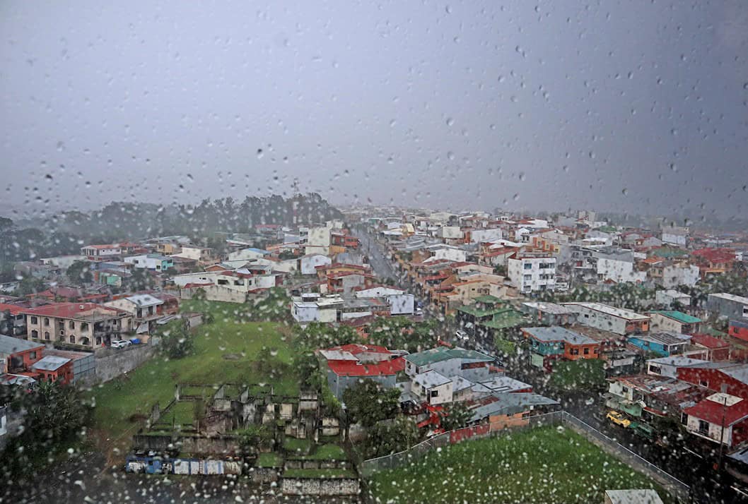
All of Costa Rica is under a green rain alert, and the next two days are when it matters most. The National Emergency Commission (CNE) declared the alert for all seven provinces this afternoon, after a weekend of storms left more than 100 flood incidents across the country.
The problem is the ground itself. In parts of the Central Valley, the Caribbean, the Central Pacific and the South Pacific, soils are 95% to 100% saturated, according to the National Meteorological Institute (IMN). Soil that full can’t absorb any more water. Rain that would normally soak in runs straight into streets, creeks and rivers instead, and it loosens slopes. That is why a single afternoon storm can now flood a neighborhood or bring down a hillside.
CNE president Alejandro Picado said the weekend showed that intense rain over a short period is enough to cause flooding, overflowing rivers and landslides. He urged residents not to let their guard down. Expect short, heavy bursts rather than all-day rain. The IMN forecasts 30 to 50 millimeters (1.2 to 2 inches) at a time, with peaks of 70 to 90 millimeters (2.8 to 3.5 inches) possible in mountain areas.
The heaviest rain is expected through Wednesday. Showers and thunderstorms are likely through Thursday on the Pacific slope, in the Central Valley, in the Caribbean mountains and in the Northern Zone. From Wednesday, rain in the Caribbean and the Northern Zone should turn more scattered.
Tomorrow, the Central Valley should start partly cloudy, with downpours and thunder in the afternoon and a few showers into the early evening. The same afternoon pattern applies along the Pacific coast, where rain may linger at night so if you have errands or outdoor plans, do them in the morning.
Some areas need extra care and the IMN singled out the north and west of the Greater Metropolitan Area (GMA), the South Pacific, the area around Braulio Carrillo National Park, and the areas of Sarapiquí, Pococí and Siquirres, where soils are most saturated. If you plan on driving Route 32 to the Caribbean, which crosses Braulio Carrillo, check road conditions before you leave and avoid driving it at night during heavy rain.
This past weekend showed how fast things can turn. The worst damage was in Escazú, San Pablo and San Rafael de Heredia, and Golfito, the CNE reported. More than 50 homes were affected, including in La Esmeralda in Barva de Heredia, Bambel 1 and 2 in Golfito and Los Guacos in Escazú.
The Bermúdez and Pirro rivers in Heredia, the Cruz River in Escazú and the Coto 63 in Golfito overflowed their banks. Route 112 in San Pablo de Heredia was temporarily closed, and the drinking water system in Golfito was damaged. Sixteen people are staying in a temporary shelter at the community hall in Bellhorizonte, Escazú.
The CNE counted 76 rain-related incidents yesterday alone, including floods, rising rivers, landslides and damaged homes. By today its tally for the weekend had passed 100. This comes after flash floods in Heredia and Escazú and a day with 2,000 lightning strikes over the weekend. In Puntarenas, the Costa Rican Red Cross recovered the body of a boy of about 10 on Monday morning, near the city’s tourist pier. He had been swept away by a current on Sunday, during the same weekend of heavy rain.
Green is the lowest level on the CNE’s alert scale so it does not mean an evacuation. It just means local emergency committees stay active and watch high-risk areas, so they can respond faster if a river rises or a slope gives way. And as we mention in almost every one of these types of weather articles, don’t cross a flooded street, river or creek, on foot or by car. Even 30 centimeters (1 foot) of moving water can sweep a car away, and you can’t see how deep it is or what is under it.
If you live near a river or creek, keep an eye on the water level, especially during and right after an afternoon storm. If you live on or below a slope, watch for new cracks in walls or the ground, tilting trees or posts, and muddy water running off the hillside. Those are early signs of a landslide.
Strong gusts can come with the storms. Watch for falling trees and branches, loose roofing, and damaged poles and power lines. On mountain roads, slow down and look out for rocks and mud on the pavement. If you have a boat tour or fishing trip booked, check with the operator before heading out. The CNE asked operators of small tourism and fishing boats to take extra care while the alert is in place.
Tomorrow afternoon storms will also coincide with the university march in San José, which is expected to slow traffic in the capital through the day so plan extra travel time. Rain should ease toward the end of the week, but the soil will stay wet for days. Follow updates from the CNE and the IMN and call 911 in any emergency.