

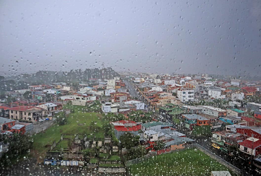
Unfortunately, the break in the rain won’t last. Costa Rica’s National Meteorological Institute expects instability to build over the weekend, and Saturday is shaping up as the wettest day. If you have outdoor plans, put them in the morning. Afternoon is when the storms fire, and Saturday afternoon is the window most likely to be lost.
Friday was quiet for a specific reason as tropical Wave No. 34 crossed last night and pushed the Intertropical Convergence Zone — the band of storms that has sat over Costa Rica for the past week and driven the flooding — out to sea and away from Central America. The wave itself did little. Moving that storm band offshore did the work.
“The system crossed the country with little activity and without causing significant changes in weather conditions. It was a fairly weak wave, which is why no major impact was felt across the country,” IMN meteorologist Juan Diego Naranjo said. That left Friday with scattered rain rather than widespread rain. The exceptions were the Limón coast early in the morning, where trade winds kept pushing moisture ashore, and the Puntarenas coast in the afternoon.
“The heaviest rains are expected along the coast of Puntarenas Province — that is, in the Central Pacific and South Pacific regions,” Naranjo said. The Central Valley and Guanacaste stayed mostly dry under cloud, with San José topping out near 26°C (79°F) and Liberia and Nicoya climbing into the mid-30s Celsius, around 95°F.
Saturday changes that. Expect isolated downpours with thunderstorms on the Pacific side, heaviest in the Central and South Pacific and reaching the Nicoya Peninsula at times. Showers are also likely west of the Central Valley in the afternoon. On the Caribbean side and the eastern Northern Zone, the rain comes in the mornings and at night rather than the afternoon, and that pattern runs from Saturday into the start of next week.
Sunday looks quieter on the Pacific side, though the Caribbean keeps its morning rain. The upper atmosphere stays unstable both days. Wind is the second thing to plan around. Gusts will generally run 30 to 50 km/h (19 to 31 mph), reaching 75 km/h (47 mph) in the north of the country, with the strongest conditions along the northern edge of Guanacaste. That’s enough to make small-boat trips uncomfortable, cancel beach umbrellas outright, and push high-sided vehicles around on exposed stretches of highway.
The thing that makes this weekend different from an ordinary rainy-season weekend is the ground. Rain that would drain away in June now has nowhere to go. Soil across the Caribbean and the South Pacific is already saturated from the past week, so new rain runs straight off into rivers and streets instead of soaking in. Rivers rise faster, and they rise on less rain than you would expect.
The scale of what came before explains why. Tropical Wave No. 33 and the storm band that followed it dropped as much as 359.8 mm — about 14 inches — in 48 hours, forcing more than 1,059 people from their homes across the Caribbean and Northern Zone and disrupting or damaging close to 1,000 schools. The Education Ministry confirmed 145 schools still had classes suspended as of Friday.
If you’re driving to the Caribbean this weekend, check Route 32 before you leave. The road closed repeatedly this week as material came down through the mountain section, and the same saturated slopes are still there. Looking further out, Tropical Wave No. 35 is forecast to reach Costa Rica early next week, which would extend the unstable pattern rather than end it.
Looking further out, Tropical Wave No. 35 is forecast to reach Costa Rica early next week, which would extend the unstable pattern rather than end it.





