

Strong trade winds, Saharan dust and unusually hot conditions will affect several parts of Costa Rica today, with gusts potentially reaching 95 km/h (59 mph) in higher elevations. Wind speeds of 40 to 70 km/h (25 to 43 mph) are expected across the Central Valley, northern Pacific, mountain ranges and occasionally the far north of the Northern Zone.
The strongest gusts, ranging from 80 to 95 km/h (50 to 59 mph), are forecast for mountainous areas. Drivers should exercise particular caution on exposed roads and mountain passes, especially when operating motorcycles, high-profile vehicles or vehicles carrying unsecured loads. Strong gusts may also bring down branches and affect lightweight outdoor structures.
The windy conditions coincide with a new mass of Saharan dust moving across Costa Rica. The dust began arriving through the Caribbean on Saturday and is expected to cover more of the country on Sunday. Its presence will reduce atmospheric moisture, bringing sunnier skies, fewer widespread showers and higher daytime temperatures.
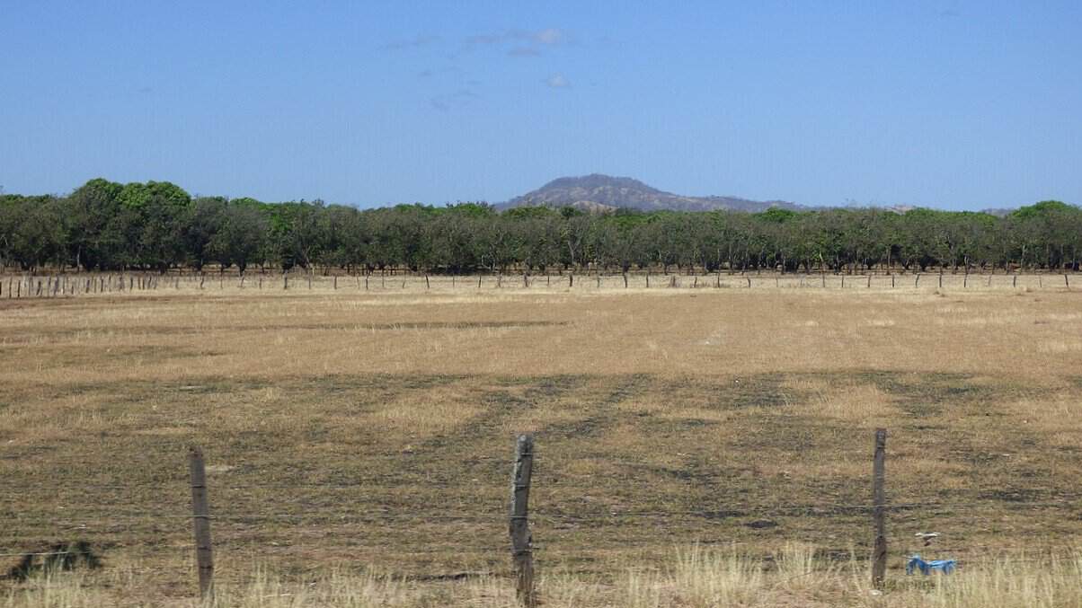
Liberia could reach 36.5°C (97.7°F), while Nicoya may reach 35.9°C (96.6°F). People spending time outdoors in Guanacaste and other hot areas should limit prolonged exposure during the middle of the day, drink water regularly and avoid leaving children or animals inside parked vehicles.
San José is forecast to reach approximately 26.7°C (80.1°F), with an overnight low near 18.8°C (65.8°F). Partly cloudy conditions are expected across the Central Valley, although light drizzle remains possible in higher areas. Despite the drier air, rain has not been ruled out completely. Cloud cover may increase over the southern Pacific during the afternoon, followed by greater cloudiness over the Caribbean at night. Isolated showers are possible in both areas.
Saharan dust can produce hazy skies and reduce visibility. It may also aggravate symptoms among people with asthma, allergies and other respiratory conditions. Those who are sensitive to airborne particles may want to reduce strenuous outdoor activity if the haze becomes noticeable.
The windy, dry pattern is expected to extend into the beginning of the week. Tropical Wave No. 30 is forecast to approach Costa Rica on Monday, although its potential to generate heavy rain appears limited because it will move through an atmosphere with relatively low moisture.





