

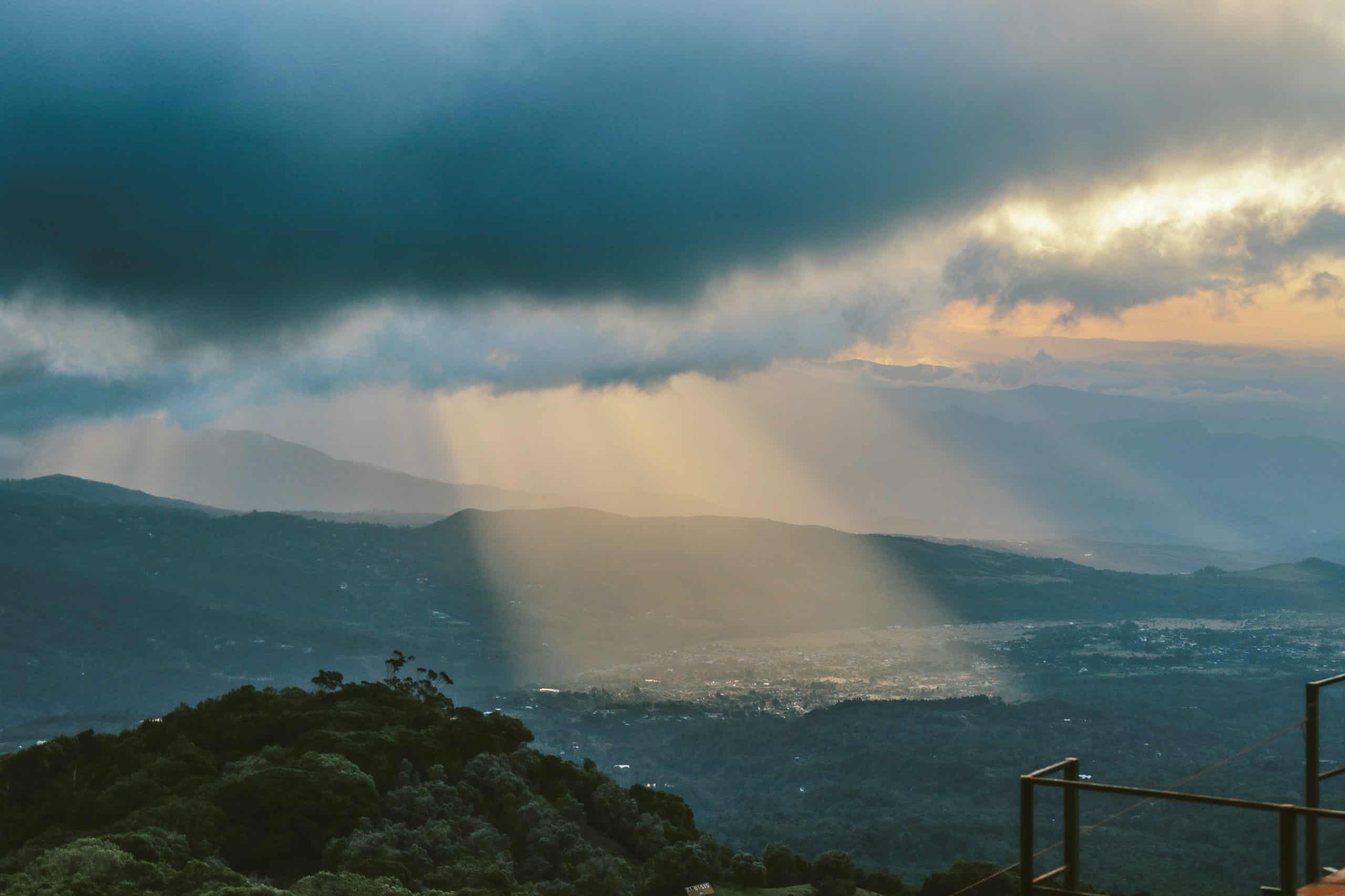
A tropical wave moving across Costa Rica today is expected to bring yet another round of heavy rain and thunderstorms, with already saturated ground increasing the risk of sudden flooding in several parts of our country.
Tropical Wave No. 22 is forecast to cross this morning with persistent rain expected in the Caribbean and Northern Zone and rainfall totals could reach between 20 to 40 millimeters (0.8 to 1.6 inches) over six hours, with isolated amounts of up to 70 millimeters (2.8 inches).
The wave arrives after a wet Saturday that produced thunderstorms across the Central Valley, Guanacaste, the Caribbean and southern Costa Rica. The heaviest recorded totals included 57 millimeters (2.2 inches) in Gavilán Canta-Bratsi, 53 millimeters (2.1 inches) at Liberia’s international airport, and 53 millimeters (2.1 inches) in Horquetas de Sarapiquí.
The main danger is that additional rain could quickly run into streams and rivers rather than being absorbed into the ground. Small waterways could rise with little warning, while drainage systems in towns and cities may struggle during intense downpours. Rain is expected to continue through much of today in the Caribbean and Northern Zone as well. Thunderstorms are also possible over the ocean and along coastal areas of the South Pacific, Central Pacific and southern Nicoya Peninsula.
In the afternoon, showers and thunderstorms are likely to spread across the Pacific regions, the Gulf of Nicoya, parts of the Central Valley and mountain areas of the Caribbean and Northern Zone. Some storms could bring them strong wind gusts capable of bringing down branches or affecting power lines.
Anyone heading along coastal and mountain roads could have reduced visibility, standing water and localized landslides. Drivers should be particularly cautious on routes through steep terrain and in areas where drainage problems are common. Rougher seas are also possible along the southern North Pacific, the Gulf of Nicoya and the Central and South Pacific coasts. Anyone out in a small boat may face difficult conditions, especially near thunderstorms.
The unstable weather could also create additional turbulence for flights coming or going from San Jose. Yesterday’s heavier rainfall around Liberia showed that the Guanacaste airport is not excluded from the current wet conditions either, despite the area usually experiencing a midyear decline in rainfall.
Today’s forecast is more serious than yesterday’s general wet-weather pattern because the tropical wave is arriving while several areas are already holding large amounts of moisture. A short period of intense rain could therefore cause problems even if the day’s overall rainfall total is not unusually high.
Anyone living near rivers, streams or steep slopes should watch for rapidly changing water levels, unusual noises from hillsides and fresh cracks or movement in the ground. Flooding can also develop in urban areas when storm drains become overwhelmed or blocked by debris.
Rainfall may also vary considerably over short distances. Where one community may receive only a brief shower another one nearby could experience a strong thunderstorm and several hours of rain. Bottom line for today: The concern is the combination of the passing tropical wave, saturated ground and repeated downpours so be careful out there!





