Google Maps has rolled out an expanded Street View feature across Costa Rica, giving people a chance to check out more streets and spots from their devices. The update captures fresh images from a pickup truck that traveled roads between May 2024 and July 2025, including remote areas and natural sites.
Content creator Trevor Rainbolt, known for his geography skills, joined the Google team to help document the process. He shared his trip in a video over six minutes long, posted on social media. The clip starts with broad shots of the landscape as Rainbolt drives the truck fitted with cameras through places like La Fortuna in San Carlos.
Rainbolt described arriving without clear expectations, calling it a mix of the known and the new. The team crossed long roads and even a river, grabbing views that show off the terrain. He pointed out how the feature helps businesses by letting people see spots online before heading there, and aids anyone planning a visit.
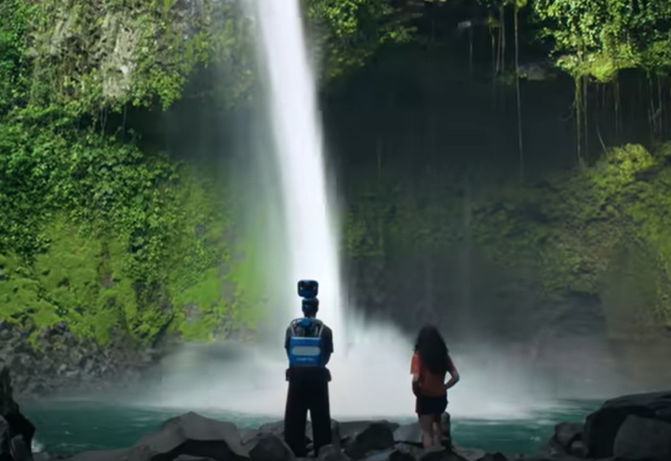
Partway through, Rainbolt switched to horseback with the team. He then carried the camera backpack-style up a path to a waterfall, covering 500 steps to the edge. The footage lets viewers follow the route and get a sense of the scenery at the end.
Rainbolt got a close look at the camera setup for the first time, despite seeing it in pictures before. The video stresses how Street View supports small operations by drawing eyes from around the globe.
In a fun twist, dropping the Pegman icon on Costa Rica in Maps now shows Rainbolt’s face, nodding to his role in the project. Some spots even include hidden elements from him, like a sign with “nice” in new coverage areas.
This expansion opens up virtual walks through towns, rural paths, and attractions, making it simpler for travelers to scout routes or preview hotels and eateries. Local firms gain from the exposure, as potential visitors can tour their fronts remotely.
To try it on a phone, open Google Maps, search for a location in Costa Rica, and tap the small image in the bottom left to enter Street View. Move by tapping arrows. On a computer, search the spot, find the person icon, and drag it to a blue-lined street to start exploring.
The feature also touches on privacy—people or places can request blurs if needed, under local rules. Overall, it adds a practical layer for anyone eyeing a trip here.


