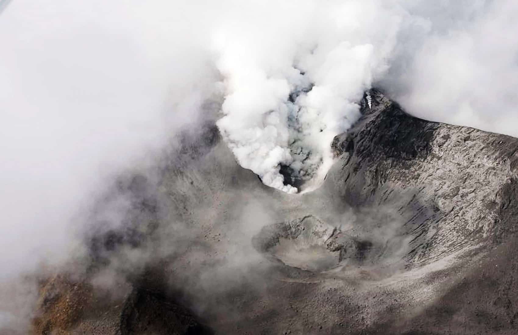
Read our coverage of the Turrialba Volcano eruptions here.
The Volcanological and Seismological Observatory of Costa Rica (OVSICORI) on Monday launched a new online tool for users to track the trajectory of ash expelled by the Turrialba Volcano.
The tool, called Ash3D, was developed by the U.S. Geological Survey (USGS). OVSICORI signed an agreement with the USGS to analyze data from the Turrialba Volcano and to make it available to the public on OVSICORI’s website.
The Asg3D calculates weather conditions and evaluates wind changes in order to create a model of the possible trajectory of ash in case of an eruption.
The software also allows experts to determine locations where volcanic material could accumulate. The information is updated every 12 hours and can be seen at: www.ovsicori.una.ac.cr
OVSICORI also launched a website for users to log locations where ashes have been seen:
https://www.facebook.com/OVSICORI/photos/a.120485684655365.9814.106757629361504/748088148561779/?type=1&theater
On Monday evening, the National Emergency Commission (CNE) issued a report noting that 165 people from 13 communities said they had been affected by the volcano’s activity. Sixty-two families were evacuated as a precautionary measure.
The CNE established a temporary shelter at a community center in Santa Cruz, north of the Turrialba canton. So far, the shelter is empty.
Classes at 13 public schools have been suspended, and Education Ministry officials this week coordinated the transfer of high school seniors to other public schools in order to take their graduation tests that begin on Tuesday.


