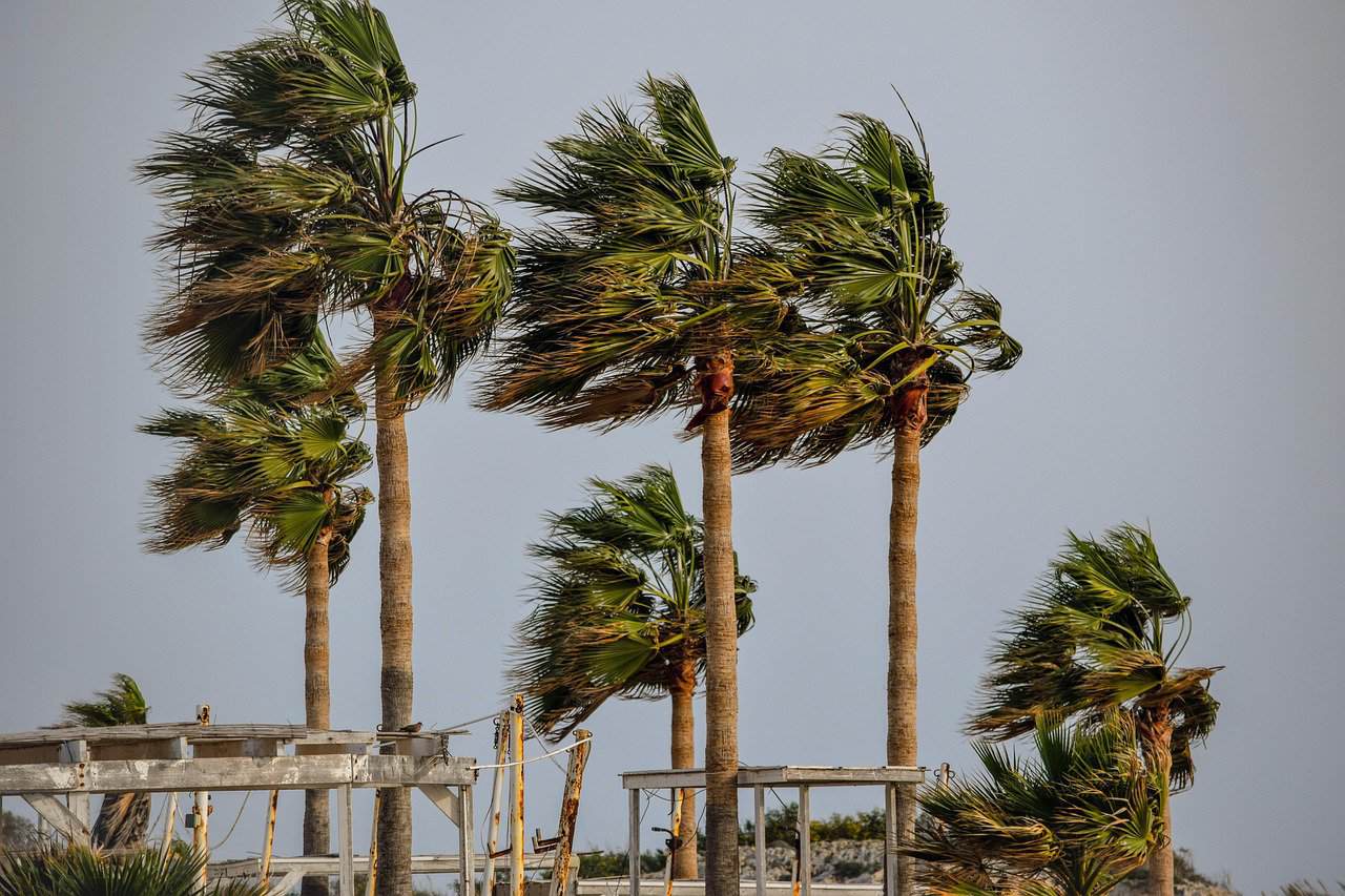
Forecasts from the National Meteorological Institute show that strong trade winds will continue to influence much of Costa Rica today and into the coming days. High atmospheric pressure over the Caribbean Basin drives these conditions, leading to accelerated winds across several regions.
In the North Pacific, Central Valley, and mountain areas, gusts range from 25 to 50 kilometers per hour, with peaks over 70 kilometers per hour in northern Guanacaste and higher elevations. These winds extend their reach to both coastal and inland spots, where they can stir up dust and reduce visibility in open areas. The Caribbean and North Zone see occasional cloud cover and light rains, which may spill over to eastern parts of the Central Valley. Elsewhere, skies stay mostly clear to partly cloudy, with little chance of rain.
Meteorologists note that the pattern stems from a persistent high-pressure system, which has already brought similar weather in recent weeks. While no formal warnings stand in place, residents and visitors should prepare for the effects.
Windy conditions matter for flight schedules, sea excursions and beach safety – critical for travelers at this peak holiday moment. Airports in Guanacaste and the Central Valley often face delays or adjustments when gusts pick up, and operators of boat tours along the coasts advise caution or cancellations. Beaches in popular spots like Manuel Antonio or Tamarindo will require extra attention in order to avoid hazards from rough waves or even potentially flying debris.
As the year ends, these winds signal a shift to drier patterns typical of the season. People in affected areas should batten down outdoor items and monitor updates from local authorities. The institute expects the intensity to hold steady through the week, with possible easing by early January.
For those planning outdoor activities, check real-time reports before heading out. Conditions can change quickly in varied terrain like Costa Rica’s so beware and stay safe!


