

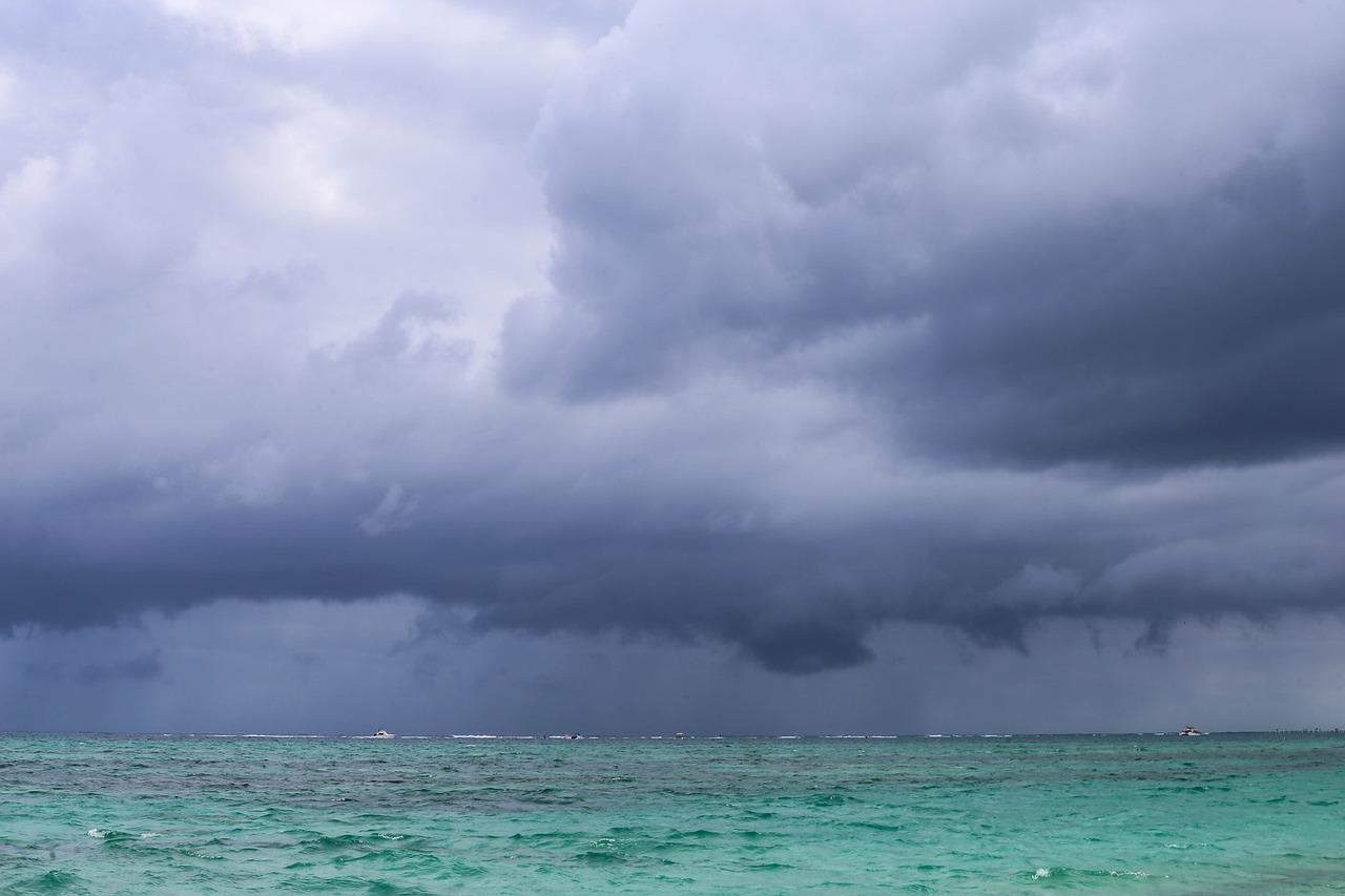
Strong trade winds will continue across Costa Rica today, with gusts expected between 40 and 75 km/h (25 to 47 mph), especially in northern Guanacaste and mountain areas, before a new tropical wave increases the chance of rain heading into the weekend. The windy pattern is being driven by accelerated trade winds over the Caribbean Sea, a setup that has kept clouds and moisture moving into the Caribbean and Northern Zone while leaving other regions with more variable conditions.
For today, the Caribbean and Northern Zone can expect partly to mostly cloudy skies, with scattered showers during the day. In the Central Pacific and South Pacific, afternoon downpours are possible, with thunderstorms in some areas. The strongest gusts are expected in exposed areas of Guanacaste and along the mountain ranges. Drivers should be prepared for sudden crosswinds, especially on open highways, mountain roads and routes used to reach beaches in the north Pacific.
Beachgoers should also pay attention to changing conditions. Strong winds can make the ocean choppier, affect small boats and create rougher conditions near exposed beaches and gulfs. The next shift comes Friday, when tropical wave #21 is expected to hit Costa Rica. The system is forecast to increase rainfall and increase atmospheric instability, making showers more likely in several areas as the weekend begins.
Keep in mind, tropical waves are common during Costa Rica’s rainy season, but they can quickly change local conditions. A quiet morning can give way to heavy afternoon rain, reduced visibility, thunderstorm activity and sudden flooding in low-lying or poorly drained areas.
Those heading to the Pacific coast, Caribbean, mountain towns or national parks this weekend should build in extra time and avoid assuming that conditions will remain the same throughout the day. The wettest periods are most likely during the afternoon and evening, particularly in the Pacific and in areas where the tropical wave adds moisture to already unstable conditions.
Bottom line is that the main concern through the weekend is not a named storm, but the combination of gusty winds, tropical moisture and afternoon thunderstorms. That mix can be enough to affect road travel, beach plans and outdoor tours, especially in areas that are already prone to landslides, swollen rivers or brief urban flooding.





