

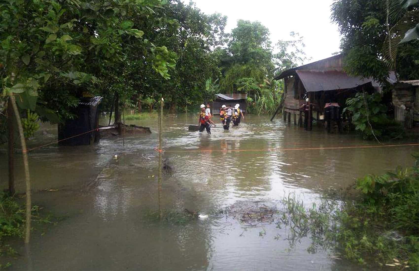
If you were thinking of or had plan to go to Caribbean side or in the Northern Zone this week, the heavy rain may have stopped but the disruption has not. Classes remain suspended at 473 schools, and more than 1,300 people are still living in 23 temporary shelters four days after Tropical Wave #33 pushed already-swollen rivers past their banks. Emergency crews are still reaching communities they could not get to over the weekend.
The Education Ministry closure list covers seven education regions. Sarapiquí accounts for 138 schools closed outright, Guápiles for 131 on partial suspension and Sulá for 110, with smaller numbers in Turrialba, Zona Norte-Norte, Limón and Cartago. That is a sharp drop from Monday, when 990 schools were shut. The ministry says the list changes daily and asks families to check its official channels rather than secondhand reports, because a school can reopen and close again within hours.
The rain itself has eased. The National Meteorological Institute expects only isolated showers on the Caribbean coast and variable downpours in the Northern Zone through the morning, with scattered afternoon rain reaching the Central Valley, the Central Pacific and the South Pacific, and possible showers on the Nicoya Peninsula.
The risk that remains is in the ground, not the sky. Soil across the Caribbean and the South Pacific is saturated, which means an ordinary afternoon shower can now trigger a landslide or push a river back up with almost no warning. A hillside that held all season can fail on a rainfall total that would normally pass without incident.
The weekend produced some of the heaviest rain on record. Nine weather stations set 24-hour precipitation records between 7 a.m. Sunday and 7 a.m. Monday, according to preliminary Institute data, with eight of them on the Caribbean slope.
Roxana de Pococí recorded 263.4 millimeters (10.4 inches) in a single day. For comparison, a heavy Costa Rican downpour typically drops around 60 millimeters (2.4 inches) over three hours. The Fundación Neotrópica station in Sierpe de Osa, on the Pacific side, logged 134.6 millimeters (5.3 inches).
Across 48 hours, the Caribbean and parts of the Northern Zone took between 200 and 360 millimeters (7.9 and 14.2 inches). At some stations a single weekend delivered half of what August normally brings in a full month, and monthly totals elsewhere have already reached between 100 and 170 percent of the historical average with almost two weeks still to go.
The National Emergency Commission is still supplying communities it cannot reach by road. A helicopter has been running food deliveries to the indigenous territories of Tayní Cabécar and Alto Chirripó in Limón, and to communities in Sarapiquí, where damaged roads and bridges have cut off vehicle access.
People in shelters are receiving meals, bedding, hygiene kits and medical checks. The count has stayed above 1,300 since Monday and will keep shifting as some families go home and others are evacuated. Route 32, the main link between San José and Limón, was closed Tuesday afternoon after material fell onto the roadway, and the Public Works Ministry scheduled an inspection for first thing Wednesday. Whether it reopens depends on what crews found.
If you need to reach the Caribbean, Route 10 through Turrialba is the alternate and is open to all vehicle types, though it has taken closures of its own during this rain cycle. Check the ministry’s channels before you leave rather than after you are on the road, because the Zurquí stretch can shut again within minutes of a downpour.
Do not drive through standing water, however shallow it looks. Moving water just 30 centimeters (12 inches) deep can float a car, and on a flooded road you cannot see whether the surface underneath is still there. If you have anything booked or scheduled in Sarapiquí, Tortuguero, Cahuita, Puerto Viejo or Guápiles, call ahead. Access varies community by community, and people on the ground will know whether the road to their door is open well before any official list catches up.
The forecast calls for lighter rain in the days ahead. But with the ground this saturated and most of the rainy season still to come, conditions on the Caribbean slope can change a good deal faster than the forecast suggests.





