

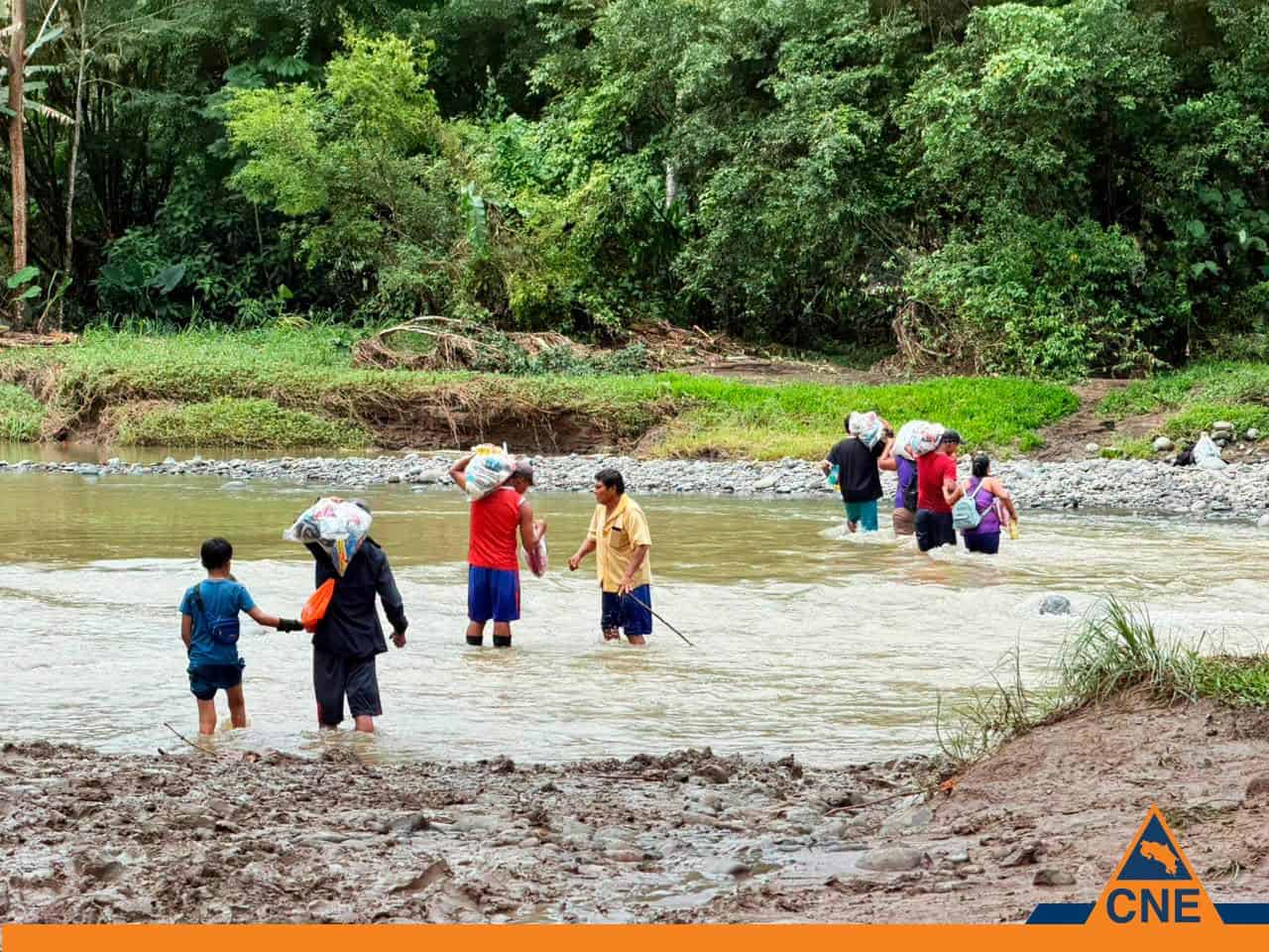
Costa Rica’s week-long flood emergency in the Caribbean and Northern Zone has begun to wind down, with the Comisión Nacional de Emergencias (CNE) reporting Monday that it had closed all of the shelters it opened as a precaution and that more than 250 displaced residents had returned home.
The improvement followed several days of heavy rain tied to Tropical Wave #19 and, over the weekend, Tropical Wave #20, which combined with an active Intertropical Convergence Zone and saturated soils to flood communities across Limón, Sarapiquí, Siquirres, San Carlos and surrounding areas.
According to the CNE, Limón province and the canton of Sarapiquí woke Monday to cloudy skies and only weak, isolated rain, allowing families to leave the shelters. The emergency has now shifted into a damage-assessment phase, with municipal emergency committees focused on tallying losses and distributing food. All figures below are preliminary and attributed to the responding authorities.
At its height, the emergency displaced a significant number of people. The CNE reported that more than 250 residents were moved into as many as nine temporary shelters at the peak, concentrated in Sarapiquí, Limón, Siquirres, Matina and San Carlos; the Costa Rican Red Cross put its own evacuations at 261.
including the Puerto Viejo, Sucio, Sarapiquí, San Juan, Pacuare, Pacuarito and Chocolate ran well above normal, and the Instituto Meteorológico Nacional (IMN) warned over the weekend that river basins in Sarapiquí, San Carlos, Guápiles, Siquirres and central Limón were fully saturated, raising the risk of flash flooding and landslides. The flooding also disrupted basic services: health facilities in parts of the Caribbean suspended care, and water service in the canton of Limón was knocked out before crews restored it by rehabilitating the Limoncito River intake, the CNE said.
The human cost included one confirmed death. Authorities reported that a man was swept away by the current of the La Cuzuca creek in Río Chiquito de Tilarán, Guanacaste, on Thursday, July 2. In hard-hit communities, residents described water rising more than half a meter (about 1.5 feet) inside their homes, ruining appliances and furniture, while swollen rivers inundated farmland planted with cassava, corn and bananas — an early indication of agricultural losses that officials have not yet quantified.
The IMN’s forecast for today still calls for variable rain and isolated downpours, with the occasional thunderstorm, in Limón and the Northern Zone, while the Central Valley and Guanacaste can expect cloudy skies with intermittent rain or drizzle. Forecasters have signaled a gradual drying trend early this week as drier air moves in from the Caribbean, but with soils still saturated, the CNE has cautioned that localized flooding and river rises remain possible.
Anyone traveling to or through the Caribbean coast — including Puerto Viejo, Cahuita and the Talamanca area — or the Northern Zone around La Fortuna and Sarapiquí should check road and river conditions before setting out, avoid crossing flooded roads or swollen waterways, and rely on updates from the CNE, the IMN and the Ministry of Public Works and Transport (MOPT) rather than informal sources. The CNE has emphasized that decisions to reopen affected areas, and to restore any suspended services, depend on safety conditions in each community.
Officials say the full scale of the damage — to homes, roads, water systems and agriculture — will become clear only as assessment teams complete their work in the coming days. The Tico Times will update this story as the CNE releases official figures.





