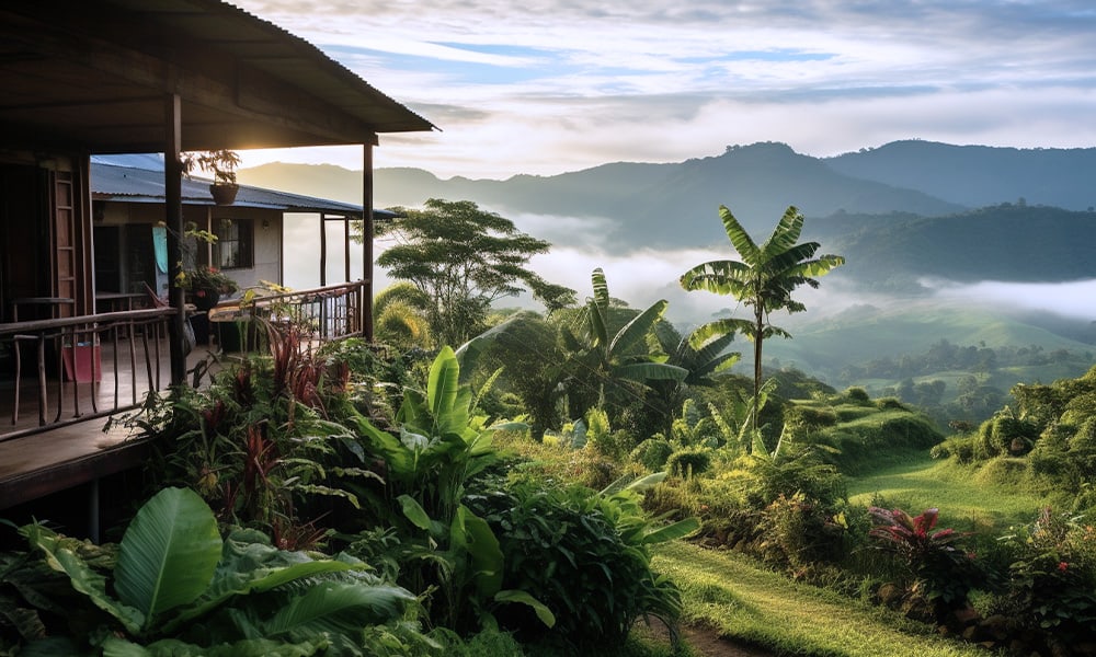
I was talking with a tourist from Colombia. He said that Costa Rica was beautiful and wild and contained astounding naturaleza, but that Colombia had all of this and more of it, as it is about twenty times the size in square kilometers. I said this may be true, but can you see a cloud forest, a volcano and a beach all in the same day’s drive in Colombia? Microclimates are Costa Rica’s secret weapon. I recently read that Costa Rica has all but two of the Earth’s climates.
It doesn’t have the two most inhospitable climates for humans and wildlife, namely snow and frozen tundra and desert, but contains every other type of climate that exists on Earth. Of the many reasons millions of tourists have chosen to visit here, it is probably one of the least discussed. But for a country roughly the same area as the state of West Virginia, it is easily possible to go from a high-altitude region cold enough to see your own breath, to a coastal area hot enough to reduce you to a puddle of sweat in between breakfast and lunch.
I recently did just that. I started the day on the Cerro del Muerte, hiking on a mountainside at over 3000 meters (10,000 feet) elevation, in long pants, flannel shirt, sweater and jacket.
The wind howled incessantly, and my ears and cheeks were pinged by the chill. The ‘’Mountain of Death” is in the paramo, above the timberline. It is so named because in the early days of the country, intrepid settlers would sometimes die of exposure attempting to cross the frigid mountain. When the hike was over, I drove 45 kilometers (30 miles) straight down the mountain.
This winding descent features a drop of over 2,400 meters (about 8,000 feet) and takes you from paramo, down to oak forests where you may see the sought after Quetzal, on down through rain forest until you reach the city of San Isidro de el General, the hub city of the Southern Zone. If one continues south, you will enter a valley that features areas of agricultural production extending to the border with Panama. Or you can take the western route and head to the Pacific Coast.
By now the temps were warm and I drove with my windows down. Between San Isidro and Playa Dominical there is first a climb of over 500 meters (almost 2,000 feet) in only 10 km (6.2 miles) that takes you from warm city to cool cloud forest. From this peak is another mad, winding downhill, this one over 1,200 meters (4,000 feet) downhill, covered in only 16km (10 miles). Once you reach the coastal lowlands, the heat of the day is upon you.
This entire trip took less than two hours. Distance covered was 80 kilometers or 50 miles. There are two descents that total 3,600 meters or 12,000 feet, which combined is almost the height of Cerro Chirripo, Costa Rica’s highest peak.
Temperature swings went from a few degrees above freezing to sweltering. From paramo to cloud forest to rain forest to agricultural are back up to cloud forest, then down to beach and rain forest. If you want you can witness a sunrise on the Caribbean coast, drive through ever changing surroundings and climates, scale mountains, and wind through rain forests, and get to the Pacific Coast in plenty of time to watch a picturesque sunset.
It is this compactness of geography among many other things that make Costa Rica the special destination that has attracted millions of tourists over the years. A diverse and amazing time can be had, and all in a single day if you want!

