

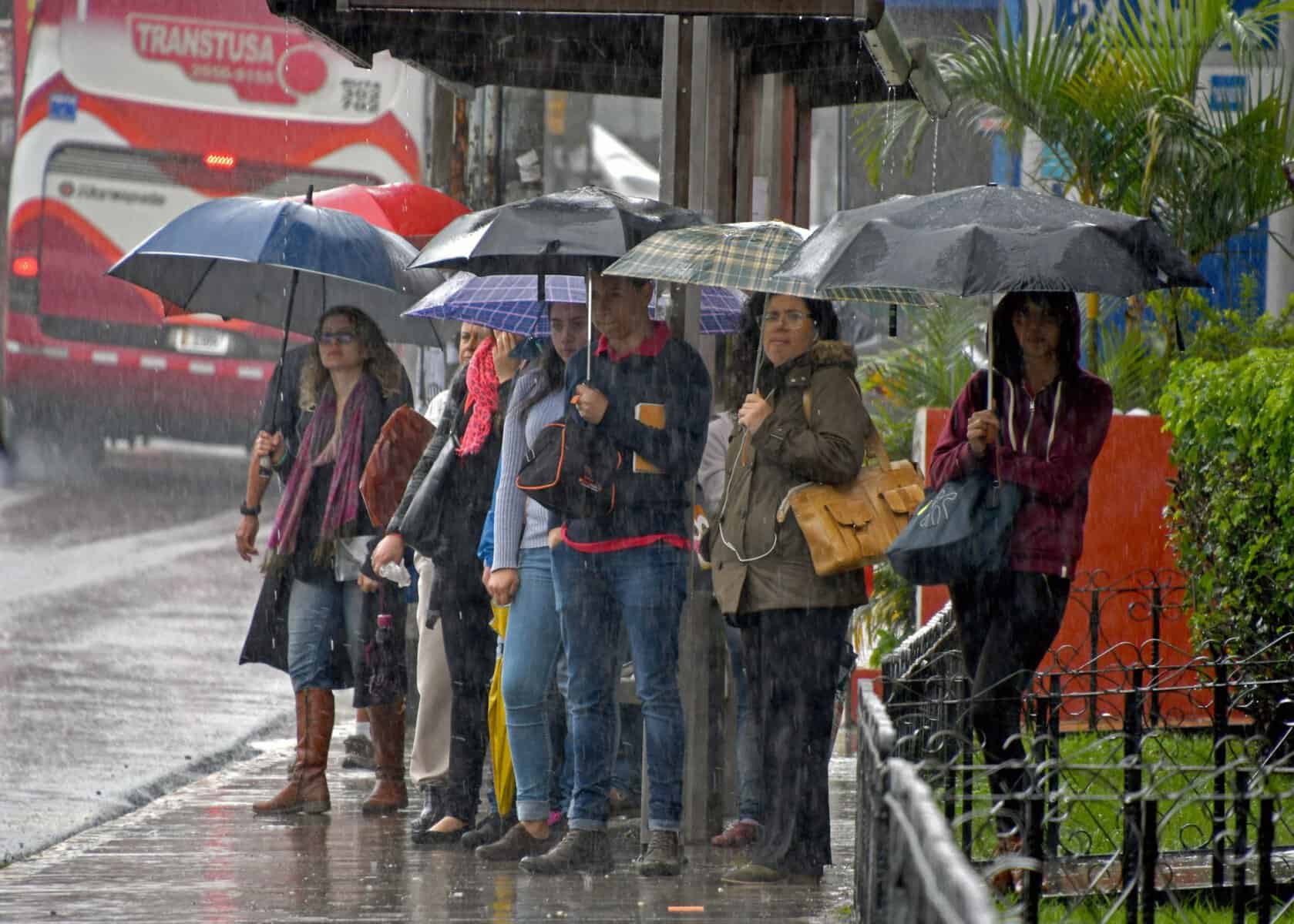
If you have plans outside today, do them in the morning. Rain and thunderstorms are forecast across Costa Rica this Sunday, and most of it will arrive in the afternoon. The storms follow an unusually electric Friday. About 2,000 lightning strikes hit the country that day, according to the Costa Rican Electricity Institute (ICE), including 1,200 in the Greater Metropolitan Area alone. A day with 500 strikes is normally considered high, so the count around San José was more than double that.
Today’s pattern is a familiar one in October, one of the rainiest months of the year. The National Meteorological Institute (IMN) says the Intertropical Convergence Zone, a band of moist, unstable air that circles the planet near the equator, is sitting close to Costa Rica. Mornings start warm and humid. As the day heats up, clouds build over the mountains and storms break out there first, then spread toward lower areas.
In the Central Valley, expect a partly cloudy morning and scattered showers in the afternoon. San José will range from 19°C to 26°C (66°F to 79°F). On the North Pacific coast, the morning should be hot and mostly dry, with isolated storms in the afternoon. Liberia could reach 35°C (95°F), so carry water and get your beach time in early.
In the Central and South Pacific, rain should start in the afternoon, with thunderstorms near the mountains. Quepos will reach about 31°C (88°F) and Golfito about 32°C (90°F). A few showers are possible near the coast even in the morning. On the Caribbean side and in the Northern Zone, you may see morning rain near the border, then afternoon showers and storms in the mountains. Limón should top out around 30°C (86°F), with clouds building through the afternoon.
The ground is already soaked in parts of the country. On Friday the IMN warned of 30 to 60 millimeters (1.2 to 2.4 inches) of rain, with spots up to 90 millimeters (3.5 inches), across the South and North Pacific and the western and northern Central Valley. Saturated soil can’t absorb more water. That means even an ordinary afternoon downpour can trigger flash flooding and landslides, especially in the western Central Valley and the Central and South Pacific.
If you’re driving mountain roads this afternoon, slow down and watch for rocks or mud on the pavement. Lightning is the bigger everyday risk. On a beach, a trail or a soccer field, you are often the tallest thing around. If you can hear thunder, you are close enough to be struck, so get out of the water, leave the sand and head inside a building or a hard-topped car.
Wait about 30 minutes after the last thunder before you go back out. Lightning can strike well behind a storm that seems to be moving away. At home, unplug computers, TVs and other electronics during heavy storms. A nearby strike can send a surge through the power lines and ruin anything that’s plugged in.
Sunset in San José is at 5:18 p.m., so afternoon storms and early darkness can overlap. Leave extra time if you’re heading back from the beach or the mountains this evening. The wet afternoons come as forecasters track a strengthening El Niño expected to peak around December, a pattern that usually means drier months ahead on Costa Rica’s Pacific side.





