

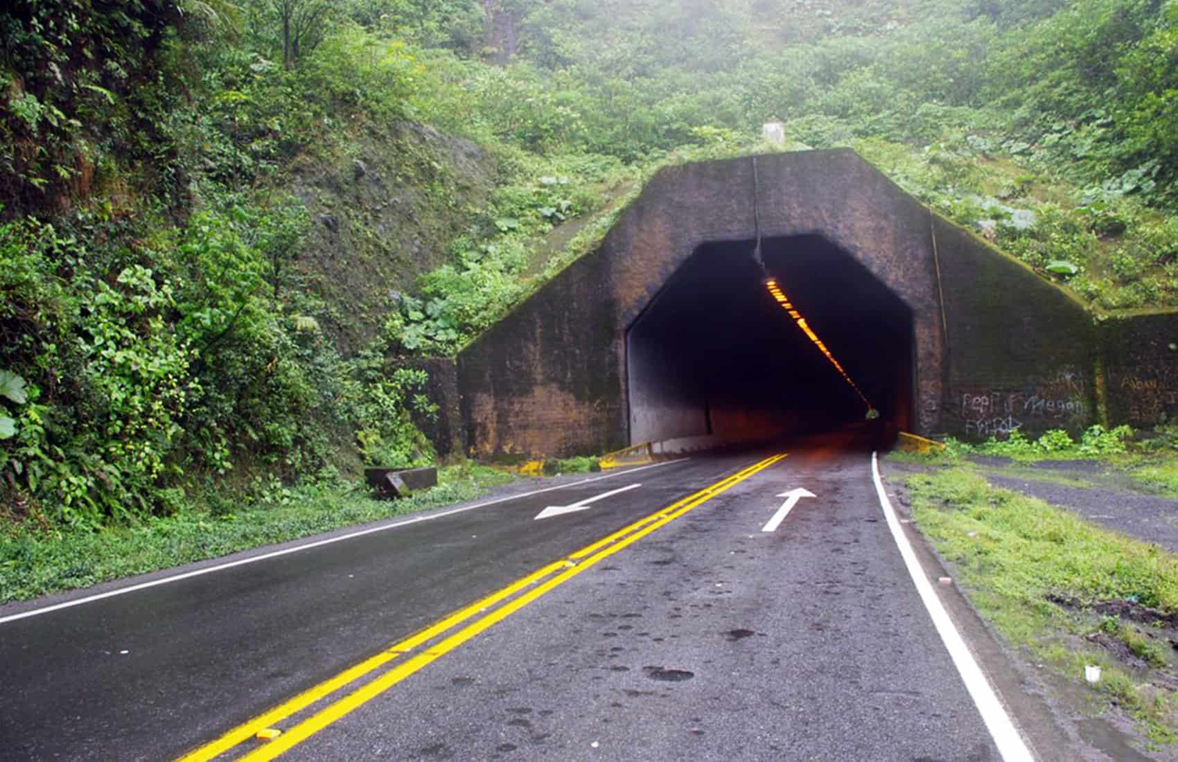
If you are driving on the Caribbean side or through the Northern Zone today, check that your route is open before you leave the house. The National Emergency Commission (IMN) raised both areas to yellow alert on Friday afternoon ahead of Tropical Wave No. 32, which reaches Costa Rica today and will unfortunately, keep rain falling through the weekend.
The Central Valley, Central Pacific and South Pacific sit under green alert. That is the lower level, but it is not a clear-weather forecast. Green means conditions are expected to deteriorate and you should be paying attention. Rain and cloud move onto the Caribbean and the eastern Northern Zone from the early hours of the morning.
Showers and heavier downpours form over the Caribbean waters first, then push inland toward the coast and the mountains, and on into the Northern Zone. By mid-morning that mountain rain reaches the eastern and northern edges of the Central Valley, and it can hang there into the early afternoon.
The Pacific gets its turn later. Scattered showers and thunderstorms are expected across the Central and South Pacific through the afternoon and evening, drifting toward the coastline as the day ends. If you have a beach afternoon planned on that side, plan it early.
Wind is the part that people usually underestimate. Accelerated trade winds off the Caribbean will sweep the mountain ranges, the Central Valley and the North Pacific, with gusts of 40 to 60 kilometers per hour (25 to 37 miles per hour) in low-lying areas and 70 to 85 kilometers per hour (43 to 53 miles per hour) across higher ground. That is enough to bring down branches and signage, and enough to shove a high-sided vehicle around on an exposed ridge road.
What makes this weekend different from an ordinary rainy-season Saturday is what the ground is already holding. Tropical Wave No. 29 came across on the 6th and left the Northern Zone, the Caribbean and the southern areas saturated. Soil that is already full cannot absorb any more, so new rain runs straight off it. That is why a moderate downpour now can flood a road that handled a harder one in June, and why slopes that held all season can let go this weekend.
Rivers and streams are the important hazard since water levels rise fast in these conditions, and they rise fastest in the small quebradas that look harmless. Keep away from riverbanks, and do not try to cross a flooded road on foot or in a vehicle. For drivers, the useful habit is checking route status before departure rather than turning around halfway.
Route 32 to Limón and Route 10 between Siquirres and Turrialba are the two that close most often in weather like this, and both carry traffic toward the Caribbean coast. If you reach a area that is flooded or blocked, do not attempt it. Turn around and wait for the crews to reopen it.
If you’re visiting us, you may not know that today is also Mother’s Day, a mandatory-pay national holiday, which puts far more cars on the road than a normal Saturday. Heavier traffic and reduced visibility are a bad pairing, so leave earlier than you think you need to and slow down well before you feel you should.
Costa Rica averages between 40 and 50 tropical waves a year, and most pass without incident. What determines whether one causes damage is rarely the wave itself but the state of the ground it lands on and whether people on the roads that day were paying attention.





