

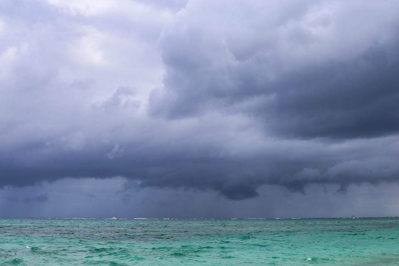
Expect a wet, blustery day today. A tropical wave is crossing and it will bring heavier rain and gusty winds through the morning before it pulls away toward the Pacific in the afternoon.
The rain comes first and hits hardest in the Caribbean and the Northern Zone, where you likely woke up to downpours. The southern Caribbean gets off a little lighter, with weaker showers. As the morning goes on, the wet weather pushes into the mountains around the Central Valley and toward the North Pacific, so even if you start dry, don’t count on staying that way.
Most areas will pick up 10 to 30 millimeters (0.4 to 1.2 inches) of rain over about 12 hours. In the wettest spots that climbs to 40 to 60 millimeters (1.6 to 2.4 inches) — enough to flood low-lying streets and back up storm drains in a hurry.
The wind is the other half of the story. Steady winds of 15 to 30 km/h (9 to 19 mph) will pick up across the Central Valley highlands, the North Pacific and the Northern Zone plains. Gusts run stronger — 30 to 60 km/h (19 to 37 mph) in the mountains, and up to 70 to 95 km/h (43 to 59 mph) in northern Guanacaste. Winds that strong can snap branches, bring down trees and toss around anything loose, so secure patio furniture, umbrellas and signage before you head out.
If you’re near a river in Sarapiquí or the northern Caribbean, pay extra attention today. The ground there is already about 80% saturated, which means it can’t soak up much more. The extra rain runs straight off into streams and rivers, and levels can climb fast. Stay away from swollen rivers and flooded crossings — it doesn’t take deep water to sweep a vehicle off a road.
Flying today? Build in a buffer. The same winds rattling the coast can make for a bumpy approach, and turbulence is likely on some routes, so keep an eye on your airline’s updates before you leave for the airport. Heading to the coast? The sea is rougher than usual along the North Pacific, the Gulf of Nicoya and the northern Central Pacific. Bigger swells pull stronger currents with them, so check conditions before you swim or take a boat out and follow any local warnings.
By the afternoon the wave moves off toward the Pacific and its grip loosens. You may still catch thunderstorms in the mountains of the Central and Southern Pacific, but the worst of the wind and rain should be behind you by evening.





