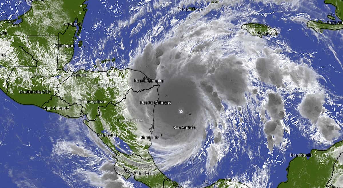
Update (9:25 a.m.): Iota has officially been upgraded to a Category 5 hurricane. Read more here.
Our original story follows:
An “exceptionally dangerous” Iota could strengthen into a Category 5 hurricane before making landfall in Nicaragua and Honduras, the National Hurricane Center (NHC) warned Monday morning.
Iota has already reached Category 4 designation with maximum sustained wind speeds of 155 mph. A Category 5 hurricane, the highest on the Saffir-Simpson scale, is defined by sustained winds of 157 mph or higher.
The NHC says environmental conditions are ideal for “continued rapid strengthening right up until landfall occurs, and Iota could be near Category 5 strength at that time.”
Hurricane Iota is expected to approach the coast of Central America and make landfall tonight.
“Extreme winds and a life-threatening storm surge are expected along portions of the coast of northeastern Nicaragua and eastern Honduras, where a hurricane warning is in effect,” the NHC says.
Iota’s indirect effects on Costa Rica
According to the National Meteorological Institute (IMN), Hurricane Iota will provoke changes to the intertropical convergence zone over Costa Rica.
Over the course of Monday morning, the IMN expects rain of variable intensity in the South Pacific and on coastal areas of the Nicoya Peninsula. There also exists a likelihood of moderate rainfall in the Northern Zone and in the mountains surrounding the Central Valley.
For Monday afternoon and evening, IMN “anticipates rains and heavy showers in all regions of the Pacific.”
Heavy rainfall caused by Iota could continue through the first half of this week. Residents of the South Pacific should exercise caution, as ground conditions remain unstable after the impacts of Hurricane Eta.


