

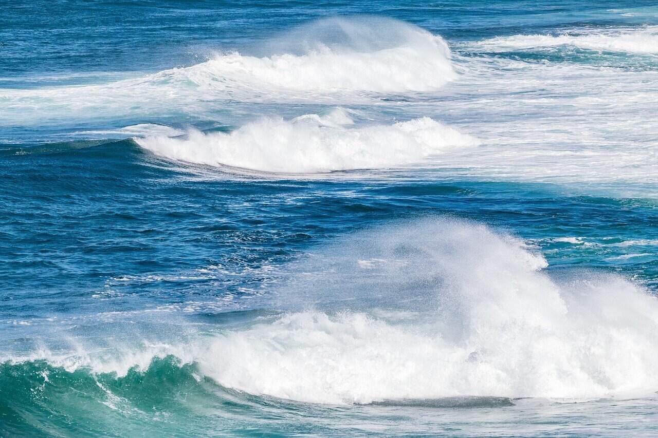
If you’re planning on going to the Pacific coast this week, expect rough surf and storms every day. Waves could reach 2.7 meters (8.9 feet) in the North and Central Pacific today and Thursday. On Friday and Saturday, the biggest swell shifts to the South Pacific. Costa Rica has been under a nationwide green alert since yesterday and green is the first step on the color-coded emergency scale. It means authorities expect enough rain to watch rivers and hillsides closely, not that an emergency is under way.
Most waves will run 1.4 to 2.2 meters (4.6 to 7.2 feet), with sets up to 2.7 meters (8.9 feet), according to the University of Costa Rica’s marine research center, CIMAR. A low-pressure system near the Pacific coast and westerly winds are driving the swell. Today and Thursday, the roughest water hits the North Pacific, the Gulf of Nicoya and the Central Pacific. That covers beaches from Guanacaste down through Jacó and Manuel Antonio. On Friday and Saturday, it moves to the South Pacific, including Dominical, Uvita and the Osa Peninsula.
Bigger surf matters because it strengthens rip currents. More water piles onto the beach, and it has to rush back out to sea somewhere. Swim only where there are lifeguards and stay out of the water where red flags are posted. Many beaches have no lifeguards, so ask locally before you go in. If a current pulls you out, don’t fight it. Swim parallel to the shore until you’re free, then head back in.
If you have a boat tour, fishing trip or water taxi booked, check with your operator. The National Emergency Commission (CNE) asked small fishing and tour boats to take extra care, so trips may be delayed or rescheduled. The rain is heaviest in the same places. The National Meteorological Institute (IMN) expects the biggest totals in the Central Pacific, the South Pacific and the Nicoya Peninsula, with coastal storms starting before dawn.
Today, expect coastal downpours and thunderstorms this morning and again at night along the Pacific, with scattered rain in the afternoon. Highs reach about 31 C (88 F) in Quepos and Liberia. In San José, expect morning and evening fog, on-and-off rain and temperatures from 18 to 24 C (65 to 75 F). The Caribbean and the Northern Zone should stay mostly dry in the morning, with afternoon showers and storms in the mountains.
The IMN expects the unsettled weather to last through Sunday. Late in the week, westerly winds could bring slightly cooler temperatures to the Pacific. Don’t cross a swollen river or a flooded road, on foot or by car. Rivers can rise fast after storms upstream, even when it isn’t raining where you are. CNE President Alejandro Picado said that if it starts raining and rivers begin to rise, people should get to shelter.
Take extra care on mountain roads and trails in national parks. Rain, fog and wind can bring down trees and loosen slopes, and the ground in parts of the country is still wet from mid-October’s flooding. Yesterday morning, falling rocks damaged two vehicles on Route 32 between San José and the Caribbean but thankfully, no one was hurt.
Watch for loose roofing, signs, power lines and trees in gusty storms, as you did during last weekend’s strong winds. Alert levels can change quickly, so check the IMN and CNE before you travel.