

Tropical wave No. 41 moved into Costa Rica before dawn today, and the part that matters for the rest of your day arrives after lunch. Expect scattered downpours with thunder along the Pacific this afternoon, heaviest in the Central Pacific, the South Pacific and the Nicoya Peninsula. Those storms can push inland as far as the western edge of the Central Valley.
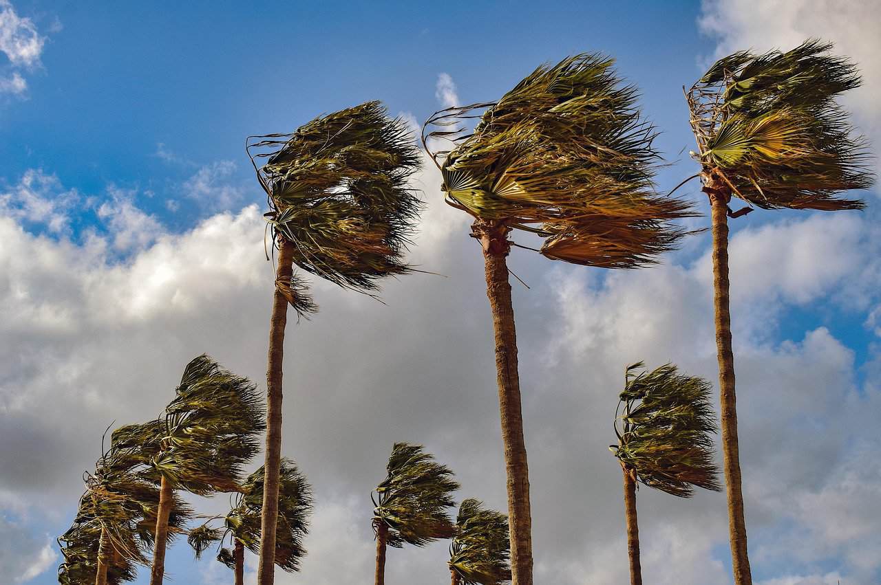
Wind is the other half of it as gusts of 50 to 75 kilometers per hour (31 to 47 miles per hour) are forecast across the center and north. That is enough to shove a high-sided vehicle on an exposed stretch of road, and enough to bring down branches, signage and loose roofing.
The Caribbean and the Northern Zone get occasional rain through the afternoon and heavier rain overnight. If you live in either region, the night is the part to plan around, not the day. The National Meteorological Institute says wave 41 is not a strong system. That does not mean a quiet day. A weak wave moving through air this humid can still empty itself over one valley in an hour while the next one stays dry, and the institute warns that this kind of localized, high-intensity rainfall is possible on both slopes.
The real reason forecasters are uneasy has less to do with today’s rain than with what fell before it. Wave 40 crossed on Sunday and left up to 80 millimeters (3.1 inches) in the Osa Peninsula, 50 millimeters (2 inches) at the Limón airport and in Laurel, and 40 millimeters (1.6 inches) in Pérez Zeledón. It flooded five areas and cut power in parts of Puerto Jiménez that have since restored.
Weeks of rain before that had already filled the ground. As we have mentioned a few times before. when soil is saturated, new rain has nowhere to go, so it runs across the surface instead of soaking in. Rivers rise faster, storm drains back up sooner, and hillsides that held through a big storm last week can let go during a smaller one this week.
That is why the institute has singled out the Caribbean, the Northern Zone, Talamanca, Turrialba, Sarapiquí and Pococí for particular attention today. Those basins are not more exposed to the wave than anywhere else. They are simply the places where the ground has already run out of room.
The National Emergency Commission is holding a green alert over the Caribbean slope, the Northern Zone, the Central Pacific and the South Pacific. That is the lowest of the three levels, and it does not mean anyone is being moved out of their home. It means the commission is tracking conditions and municipal and community emergency committees are staffed and ready to act if a river comes up overnight.
A few things worth doing before the afternoon:
- Do not drive into standing water on a road, however shallow it looks. Moving water hides what the current has already washed out from underneath, and a road that was solid this morning may not be.
- If you are near a quebrada or a small river, check it before dark rather than after. Overnight is when the Caribbean and Northern Zone rain is expected to intensify, and that is the worst time to be judging a water level.
- On the Pacific, get outdoor plans done early. The storms build in the afternoon and carry lightning with them, which makes beaches, ridgelines and open water the wrong place to be after about 2 p.m.
- If you are travelling to the Caribbean, look up the state of Route 32 before you leave rather than at the tunnel. Saturated slopes above the Braulio Carrillo stretch are the usual trigger for a preventive closure, and the road can shut with very little notice.
Temperatures stay unremarkable. San José runs between 17.7°C and 25°C (64°F and 77°F), Quepos between 21.5°C and 32°C (71°F and 90°F), and Ciudad Quesada between 17.8°C and 27.7°C (64°F and 82°F). The sun sets in San José at 5:41 p.m.
This is not the last of it as meteorologist Juan Diego Naranjo of the National Meteorological Institute says Wednesday and Thursday will be the wettest days of the week, and the institute is already tracking tropical wave No. 42, which would reach early next week. Forecasters here and at the United States National Hurricane Center are also watching a feature over the Caribbean that could organize into a low-pressure system in the coming days.
None of that fits the season the institute forecast. Costa Rica is heading into what should be a drier-than-normal stretch, with the institute projecting a rainfall deficit across the Pacific, the Central Valley and the western Northern Zone for the rest of September and the first days of October, driven by an established El Niño and trade winds running unusually strong for this time of year. The Caribbean and the Northern Zone are the exception, and they are expected to keep raining.
The end result is a splitting into two weather stories at once — one half short of water, the other half with more than the ground can take.





